- Home
- GPM
- TRMM
-
Science
- Science Overview
- Research Topics
- Storm Structure and Mesoscale Dynamics
- Precipitation Microphysics
- Global Water Cycle
- Climate Change
- Precipitation Algorithms
- Radar Algorithms
- Radiometer Algorithms
- Combined Algorithms
- Multi-Satellite Algorithms
- Applications
- Meetings
- Data Access
- Resources
- Education
Global Flood and Landslide Monitoring
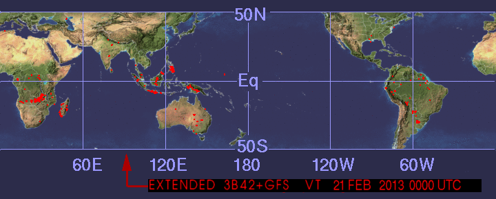
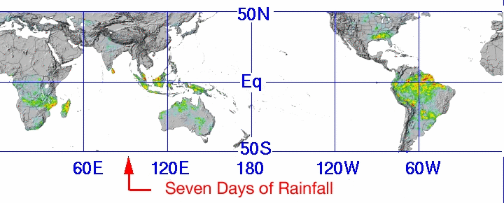
Current Heavy Rain, Flood, and Landslide Estimates
Rain information is from real-time TRMM Multi-Satellite Precipitation Analysis
View a text report of areas with estimates of severe flooding near weather station locations
Other Resources
- Latest Cyclone Animation: Large | Small
- "Point and Click" detailed rainfall data for specific coordinates: 24 Hour | 72 Hour | 168 Hour
- Full Global Hydrological Flood Potential Image: Large | Small
- Realtime Global Flood Potential images in Google Earth
- Learn more about Floods and Landslides
Heavy Rain Areas Map

Potentials Landslides Map
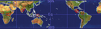
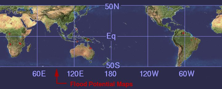
Global Flood Potential from Hydrological Maps
Click a region below for more details.
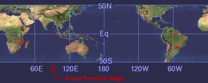
A relevent publication for the hydrological model shown above is: Hong, Y., R. F. Adler, F. Hossain, S. Curtis, and G. J. Huffman (2007), A First Approach to Global Runoff Simulation using Satellite Rainfall Estimation, Water Resources Research, Vol. 43, No.8, W08502, doi: 10.1029/2006WR005739
GFS

GFS (LONG RANGE)
GEOS-5

GEOS-5 (LONG RANGE)
PLEASE NOTE:
- GEOS-5 model data were adjusted to be similar to 3B42 data with an algorithm by Yudong Tian. Click here for more information.
- Most Tropical cyclone positions are from the NOAA Tropical Storm Position and Intensity Page.
Share this Article:
