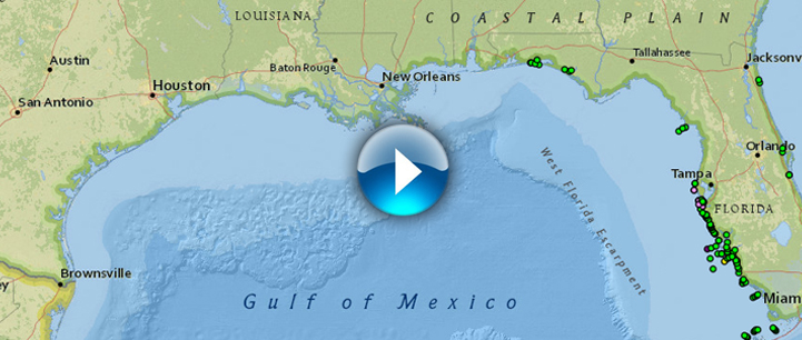
HABSOS is a data collection and distribution system for harmful algal bloom (HAB) information in the Gulf of
Mexico. The goal of HABSOS is to provide environmental managers, scientists, and the public with a data driven
resource for HAB events. Cell counts and environmental information are combined into a single product and
distributed on a map powered by ArcGIS. HABSOS strives to provide the most accurate picture of harmful algal bloom
location and quantity by using the latest sample data available.
