Green Mountain or Finger Lakes National Forest - Visitor Maps
 A large 37"x48" double sided shaded relief map revised in 1997. This map shows in detail Forest Service system roads, points of interest, campgrounds (with facilities) and hiking trails. Map scale is 0.5 inch = 1 mile. Also included is a general description of the forest, travel management and leave-no-trace camping information. A large 37"x48" double sided shaded relief map revised in 1997. This map shows in detail Forest Service system roads, points of interest, campgrounds (with facilities) and hiking trails. Map scale is 0.5 inch = 1 mile. Also included is a general description of the forest, travel management and leave-no-trace camping information.
Cost:
Map cost - $10.00 (free shipping)
Map Order Form
USGS Topographic Quad Map Coverage of the Forest

The USGS's most familiar product is the 1:24,000-scale Topographic Quadrangle Map. This is the primary scale of data produced with with the greatest detail for an area. USGS Topo Quad Maps are 22"x27".
Cost:
Map cost - $8.00 ($3.50 shipping) Map Order Form
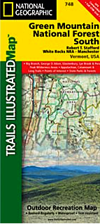
Other Forest Maps

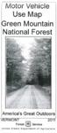
Green Mountain National Forest Motor Vehicle Use Map 2012
Green Mountain National Forest (North Half) Map
Green Mountain National Forest (South Half) Map
|