Oldest -------------------------------------------------------------------------> Newest
Mouseover the time to see the rainfall: 11 am 2 pm 5 pm 8 pm 11 pm 2 am 5 am 8 am [?]
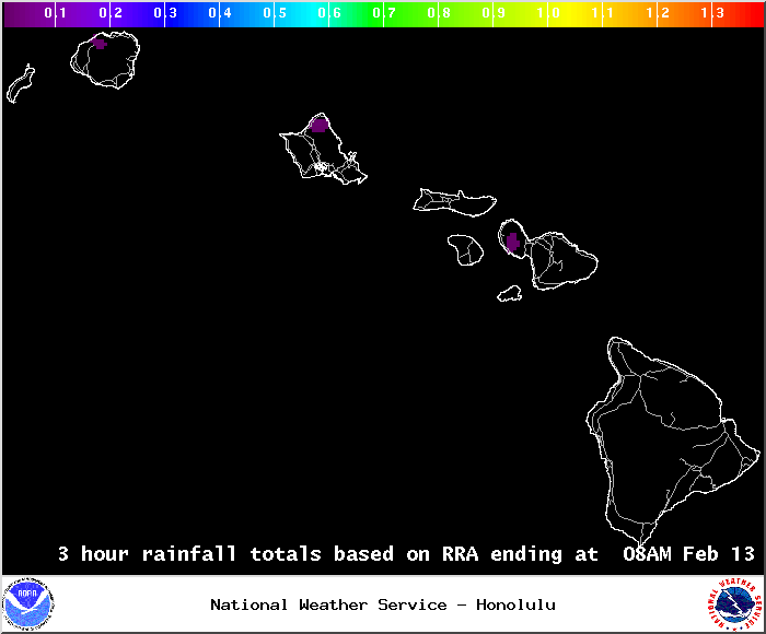
This map is meant to be an approximate depiction of the areas that have had rain over the 3 hour period ending at 2, 5, 8 and 11, am and pm. The map is created using a network of rain gauges, so no data is available over the water. This data is not quality controlled, and the map may not be accurate, particularly in areas where there are few gauges.
Routine Products
- Drought Information Statements updated monthly as conditions warrant
- Hawai`i Rainfall Summary - issued every 3 hours
- Text file

- 90 day archive updated several times daily
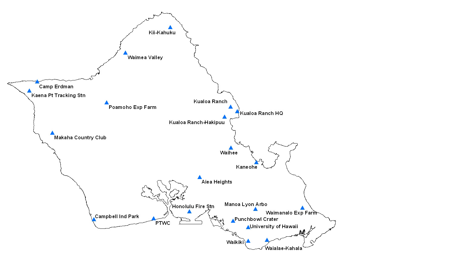
- Graphical Rainfall Summary (includes station locations)
- Daily Hawai`i Cooperative Observations
- 24hr Precipitation Forecast issued daily M-F
Additional Hydrology Resources
- Cooperative observation location maps:
- Hydrology in Hawai`i
- Hydronet automated rain gage network
- Hydronet archived data (online)
- Monthly Precipitation Summaries
Click to receive notifications of new summaries
- Standardized Precipitation Index (SPI) data for Hawai`i
Click to receive notifications of new SPI information - Daily Streamflow Conditions from the USGS