Hazard Mapping
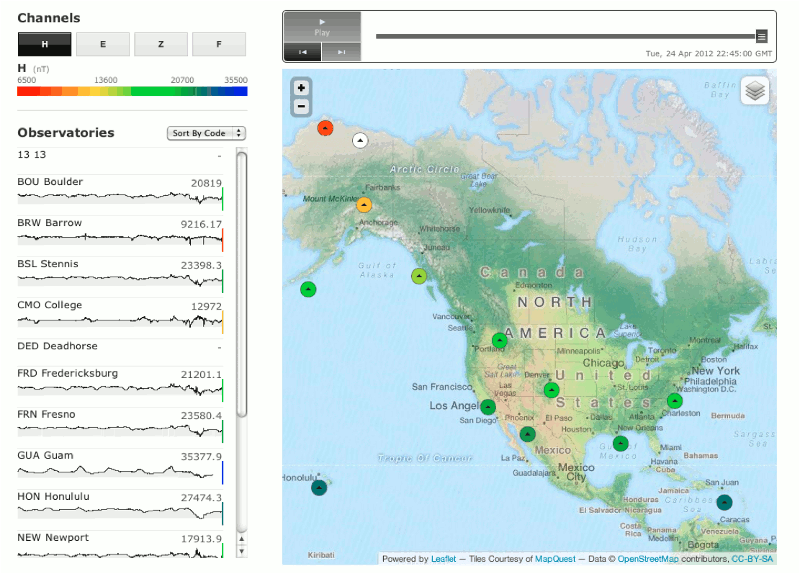
As part of the Geologic Hazards Science Center, the USGS Geomagnetism Program is charged with monitoring the Earth's magnetic field and assessing the ground level hazard due to changing fields. Although many space weather effects are global due to the interactive nature between the solar wind and the Earth's magnetosphere, ground-level effects may be highly localized. Continuing with the long-time mapping tradition of the USGS, the Geomagnetism Program is developing maps that specify regional hazard conditions during geomagnetic disturbances. This development includes regional conductivity maps , and magnetic field and electric field estimates. In addition, the local indices described on the Space Weather page are being evaluated for potential regional interpolation. These products will be made available on the USGS Geomagnetism Program Hazard Map (beta), as they become available.
Hazard Mapping Products
Real-Time Data Mapping Regional Conductivity Maps