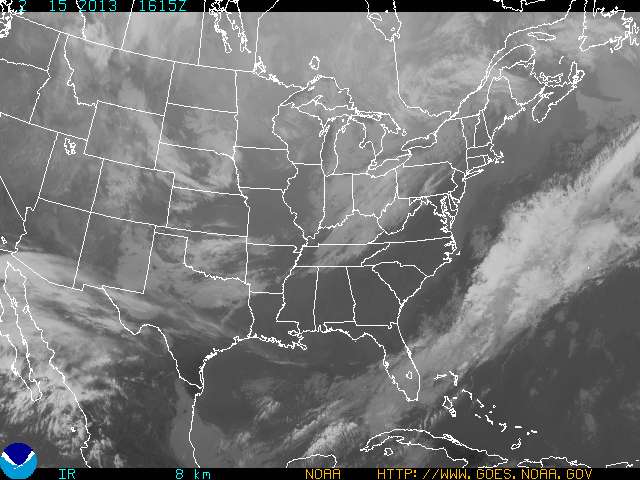
 GOES Eastern US SECTOR Infrared Image
Color enhanced imagery is a method meteorologists use to aid them with satellite interpretation. The colors enable a meteorologist to easily and quickly see features which are of special interest to them. Usually they look for high clouds or areas with a large amount of water vapor.
In an infrared (IR) image cold clouds are high clouds, so the colors typically highlight the colder regions. In a water vapor image, white areas indicate moisture and dark areas indicate little or no moisture, so the colors typically highlight areas with large amounts of moisture.
| HOME | |||
| Color Enhanced Image #1 | Color Enhanced Image #2 | Color Enhanced Image #3 | Color Enhanced Image #4 |
 |
|||
Brought to you by the National Oceanic and Atmospheric Administration (NOAA)