|
This server contains time series oceanographic data collected by USGS investigators and collaborators as part of experiments to study circulation and sediment transport in the coastal ocean. The experiments were typically one month to several years long and were carried out between 1975 and the present. The data are presented by geographic region with the maps below showing the locations where data are available. Next to them are a list of the experiments in that region and their dates. Click on the experiment name to view more information about each experiment and for links to the data. Measurements include current velocity, temperature, pressure, conductivity, light transmission (beam attenuation) among others. The experiments often focused on observations near the sea floor, but most also obtained some data in the water column. Data is provided at the fastest instrument sampling interval and often as hourly averages. Experiments longer than a few months entailed multiple, sequential instrument deployments; the data for these experiments are available as separate records. The data are stored in Network Common Data Format (netCDF) files using the Equatorial Pacific Information Collection (EPIC) conventions defined by the NOAA Pacific Marine Environmental Laboratory. NetCDF is a general, self-documenting, machine-transportable data format created and supported by the University Corporation for Atmospheric Research (UCAR). EPIC is an early set of standards which allow researchers from different organizations to share oceanographic data. The files may be downloaded or accessed using the Open-source Project for a Network Data Access Protocol (OPeNDAP). The OPeNDAP framework allows users to access data from anywhere on the internet using a variety of different client-server methods. In addition, the data are served via Thematic Realtime Environmental Distributed Data Services (THREDDS) in a Climate-Forcast (CF) standard compliant form at http://coast-enviro.er.usgs.gov/thredds/allts_catalog.html. CF is an extension of conventions used by the Cooperative Ocean/Atmosphere Research Data Service (COARDS) for the standardization of netCDF files. CF is widely used by climate modelers, and providing the data in this way will promote its use by other investigators. Documentation of the U.S. Geological Survey Oceanographic Time-Series Database is available in U.S. Geological Survey Open-File Report 2007-1194. This report describes the instruments employed, data-processing techniques, and data-quality assessment methods used to collect and process the data. The report also provides more detail about the storage format, typical file contents, and distribution and visualization methods for the data. |
 |
| Available data sets (listed by region and experiment) Click on experiment for description and links to data |
Maps showing mooring locations |
|---|---|
Gulf of Maine
|
 |
Coastal Massachusetts
|
 |
Middle Atlantic Bight
|
 |
South Atlantic Bight
|
 |
Gulf of Mexico
|
 |
California
|
 |
Hawaii
|
 |
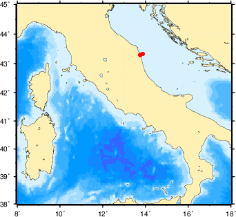
International
|
 |


 U.S. Department of the Interior |
U.S. Geological Survey
U.S. Department of the Interior |
U.S. Geological Survey
URL: stellwagen.er.usgs.gov/index.html
Page Contact Information: WHSC Webmaster
Page Last Modified: Wednesday, 27-June-2012 11:24:40 EST
