Jump to Satellite Text & Graphic Products
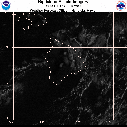
Visible Images - 1 kilometer resolution
- Kauai
- 02:30 UTC 14 Feb
- 02:45 UTC 14 Feb
- 03:00 UTC 14 Feb
- 17:00 UTC 14 Feb
- 17:15 UTC 14 Feb
- 17:30 UTC 14 Feb
- 17:45 UTC 14 Feb
- 18:00 UTC 14 Feb
- 18:30 UTC 14 Feb
- 18:45 UTC 14 Feb
- latest image
- loop - animated gif
- flash loop
- java loop
- Oahu-Maui
- 02:30 UTC 14 Feb
- 02:45 UTC 14 Feb
- 03:00 UTC 14 Feb
- 17:00 UTC 14 Feb
- 17:15 UTC 14 Feb
- 17:30 UTC 14 Feb
- 17:45 UTC 14 Feb
- 18:00 UTC 14 Feb
- 18:30 UTC 14 Feb
- 18:45 UTC 14 Feb
- latest image
- loop - animated gif
- flash loop
- java loop
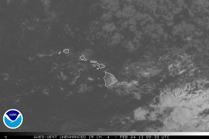
Infrared Images - 4 kilometer resolution
Click here for archived Satellite images over Hawaii (past 21 days only)
IMPORTANT: The following links for imagery are to servers maintained by the Satellite Services Division, a Division of the National Environmental Satellite, Data, and Information Service (NESDIS). These images are not maintained by WFO Honolulu. If you are experiencing problems accessing these images, contact SSDWebmasterr@noaa.gov.
Hourly imagery for Hawaii
- Visible Image - Loop
- Infrared Image - Loop
- Shortwave IR Image - Loop
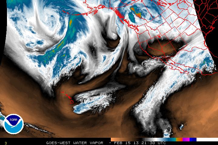
- Water Vapor Image - Loop
- AVN Color Curve Image - Loop
- BD Color Curve Image - Loop
- FT Color Curve Image - Loop
- JSC Color Curve Image - Loop
- RB Color Curve Image - Loop
- RGB Color Curve Image - Loop
Hourly imagery for the Central Pacific
- Visible Image - Loop
- Infrared Image - Loop
- Shortwave IR Image - Loop
- Water Vapor Image - Loop
- AVN Color Curve Image - Loop
- BD Color Curve Image - Loop
- FT Color Curve Image - Loop
- JSC Color Curve Image - Loop
- RB Color Curve Image - Loop
- RGB Color Curve Image - Loop
Hourly imagery for the Eastern Pacific
- Visible Image - Loop
- Infrared Image - Loop
- Shortwave IR Image - Loop
- Water Vapor Image - Loop
- AVN Color Curve Image - Loop
- BD Color Curve Image - Loop
- FT Color Curve Image - Loop
- JSC Color Curve Image - Loop
- RB Color Curve Image - Loop
- RGB Color Curve Image - Loop
Hourly Imagery for the North East Pacific
- Visible Image - Loop
- Infrared Image - Loop
- Shortwave IR Image - Loop
- IR (COLOR enhanced) Image - Loop
- Water Vapor Image - Loop
Hourly Imagery for the South Pacific
Text & Graphic Products Jump to the Satellite Imagery
![]()
The satellite desk routinely issues products covering approximately 15,000,000 square miles.
- Satellite Interpretation Message

- Northern Hemisphere Tropical Cyclone Summaries
issued every 6 hours when active tropical cyclones are in the Central Pacific - Southern Hemisphere Tropical Cyclone Summaries
issued every 6 hours when active tropical cyclones are in the South Pacific - Tropical Weather Outlook
issued 4 times daily June through November - Monthly Tropical Weather Summary
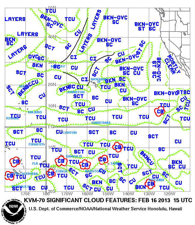
issued at the end of each month - Pacific Significant Cloud Features (160E-110W, 30S-50N) (gif format)