
Tweets
- Tweets
- Tweets & replies
- Media
@USGSNeb is blocked
Are you sure you want to view these Tweets? Viewing Tweets won't unblock @USGSNeb.
-
James Albrecht, USGS No. Platte Field Office making a discharge measurement under ice using an acoustic velocity meter
#FieldFotoFriday -
Here are a few pictures of the ice jam on the Little Blue at Fairbury yesterday.pic.twitter.com/5P13P8OHfz


-
Challenges remain in combining data from multiple organizations https://www.usgs.gov/news/nation-s-river-quality-data-could-power-deeper-science-insights …
-
USGS Releases First Tool Since 1980s Assessing Water Availability in Northern High Plains Aquifer https://www.usgs.gov/news/usgs-releases-first-tool-1980s-assessing-water-availability-northern-high-plains-aquifer …
-
It's 2017! What are your water new year's resolutions?pic.twitter.com/CqH1D7CoOc

-
USGS Scientific Investigations Report 2015–5153: Groundwater-Flow Model of the Northern High Plains Aquifer https://doi.org/10.3133/sir20165153 ….
-
An accompanying press release can be found at https://www.usgs.gov/news/how-much-water-do-we-use …
-
USGS Water Availability and Use Science Program has developed a water use data visualization https://owi.usgs.gov/vizlab/water-use/ … from 1950 to 2010.
-
USGS Nebraska Water Science Center hydrologist graduate from Nebraska Water Leaders Academy | IANR News http://ianrnews.unl.edu/three-casnr-alumni-graduate-nebraska-water-leaders-academy …
-
Science and kittens at http://on.doi.gov/2gIkRrR pic.twitter.com/yFVS0yI4bt

-
Data Provider Update!
#Groundwater data from@ksgeology added to#ngwmn. Made possible through#opendata.pic.twitter.com/CLYnNdZSQe
-
New
#hydrology and#watershed#opendata downloads from the National Water Census Data Resources Portal! Example: http://cida.usgs.gov/nwc/#!waterbudget/achuc/070900060801 …pic.twitter.com/2gM1q4s0pz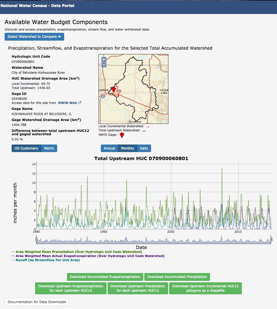
-
Data Provider Update!
#Groundwater data from Oregon Water Resources Department now available on#ngwmn!#opendatapic.twitter.com/QNyeYr66SA
-
#opensource@USGS +@USFWS app iPlover enabled rapid#shorebird habitat suitability assessment. Hot off the press:http://dx.doi.org/10.1371/journal.pone.0164979 … -
If wells are off, reported aquifer levels can be off. We make sure data is reliable. Latest report from
@INL http://bit.ly/2gSMlM6 pic.twitter.com/53RF8YSGo0
-
USGS Nebraska followed USGS TX RainWatch, USGS TX FloodWatch, USGS Texas and 4 others
-
@USGS_TexasRain
This autonomous feed delivers data for over 300
@USGS_Texas real-time precipitation stations experiencing heavy, extreme and violent rainfall rates. -
@USGS_TexasFlood
290
@USGS_Texas real-time streamgages have flood stage defined by@NWS. This autonomous feed delivers river stage/discharge data for sites above flood stage.
-
-
Product searches in TNM download client unavailable until ScienceBase catalog is reindexed. Sorry for inconvenience. http://go.usa.gov/gBEB pic.twitter.com/4C7eH96lSm

-
USGS Crews Measure Flooding in NC, SC, GA and FL https://www.usgs.gov/news/usgs-crews-measure-flooding-nc-sc-ga-and-fl …
-
More than 178,000 scans of USGS historical topographic maps can be downloaded at: http://nationalmap.gov/historical/index.html …https://twitter.com/rollakb/status/784390014050459648 …

 USGS Nebraska
 groundwaterfdn
 USGS in Idaho
 USGS_WaterData


 The National Map
Loading seems to be taking a while.
Twitter may be over capacity or experiencing a momentary hiccup. Try again or visit Twitter Status for more information.