|
|
|
|
Metadata
|
|
ID
|
02045
|
|
Also Known As
|
02045
MH 39
H-2-02-MA
H202MA
|
|
Abstract
|
Woods Hole Oceanographic Institution,United States
Geological Survey, Woods Hole, Massachusetts. Chief
Scientists: Mike Bothner, Bill Martin. Geological data (GPS,
benthicchambers, oxygenprofiler, instrumentmooring) of field
activity 02045 (H-2-02-MA) in Massachusetts Bay,
Massachusetts, United States, North America, North Atlantic
from 05/21/2002 to 05/22/2002
|
|
Organization
|
Woods Hole Oceanographic Institution
United States Geological Survey, Woods Hole, Massachusetts
|
|
Project/Theme
|
Massachusetts Bay Experiment
|
|
Chief Scientist
|
Mike Bothner
Bill Martin
|
|
Activity Type
|
Geological
|
|
Platform
|
Marcus Hanna
|
|
Area of Operation
|
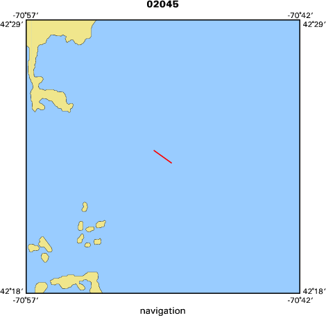
Massachusetts Bay, Massachusetts, United States, North America, North Atlantic
|
|
Location map
|

|
|
Bounding Coordinates
|
42.63333
-71.36667 -71.05000
42.25000
|
|
Ports
|
leave USCG Base in Boston, MA
arrive USCG Base in Boston, MA
|
|
Dates
|
05/21/2002 (JD 141) to 05/22/2002 (JD 142)
|
|
Analog Materials
|
No analog holdings.
|
|
Index map
|
|
|
Crew
|
|
Mike Bothner
|
Chief Scientist, USGS Woods Hole
|
|
Bill Martin
|
Chief Scientist, WHOI
|
|
Soupy Alexander
|
at sea operations, USGS Woods Hole
|
|
Dann Blackwood
|
at sea operations, USGS Woods Hole
|
|
Jonathan Borden
|
at sea operations, USGS Woods Hole
|
|
Mike Casso
|
at sea operations, USGS Woods Hole
|
|
Sarah Fuller
|
at sea operations, USGS Woods Hole
|
|
Rick Rendigs
|
at sea operations, USGS Woods Hole
|
|
John Warner
|
at sea operations, USGS Woods Hole
|
|
Flavia Wood
|
at sea operations, USGS Woods Hole
|
|
Joe Newell
|
transport of gear, USGS Woods Hole
|
|
Joanne Goudreau
|
benthic chambers and oxygen profilers, WHOI
|
|
Mike Mickelson
|
assist with moorings, MWRA
|
|
Thomas A. Dickey
|
Chief Warrant officer, Captain
|
|
|
Equipment Used
|
|
GPS
|
|
benthicchambers
|
|
oxygenprofiler
|
|
instrumentmooring
|
|
|
Purpose
|
|
Exchange moorings at the LNB site and off Scituate. Collect sediment samples and oxygen profiles at our long term monitoring stations.
|
|
|
Notes
|
|
Navigation Techniques: ifferential GPS
|
|
|
Got Help?
|
For 02045, we would appreciate any information on -- analog materials, contract, days at sea, dive count, funding, information specialist, information to be derived, kms of navigation, national plan, NGDC Info, owner, project number, publications, scanned materials, seismic description, station count, station description, submersible, summary, tabulated info.
|
|