|
|
|
|
Metadata
|
|
ID
|
09CWM02
|
|
Also Known As
|
A-2-09-FL
|
|
Abstract
|
United States Geological Survey, Saint Petersburg, Florida,
Center for Coastal and Watershed Studies, Coastal and Marine
Geology Program,Waccasassa Bay Preserve State Park. Airborne
thermal image acquisition data of field activity 09FSH02
(A-2-09-FL) in Waccasassa Bay, coastal Levy County, FL from
01/12/2009 to 01/23/2009
|
|
Organization
|
United States Geological Survey, Saint Petersburg, Florida, Center for Coastal and Watershed Studies, Coastal and Marine Geology Program
Waccasassa Bay Preserve State Park
|
|
Project/Theme
|
Waccasassa Bay Springs Thermal Imaging
|
|
Activity Type
|
Airborne thermal image acquisition
|
|
Platform
|
Aircraft (TBA)
|
|
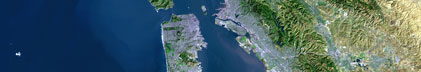
Area of Operation
|
Waccasassa Bay, coastal Levy County, FL
|
|
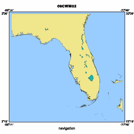
Location map
|

|
|
Bounding Coordinates
|
31.75000
-87.75000 -78.25000
23.75000
|
|
Ports
|
LEAVE Gainesville, FL
ARRIVE Gainesville, FL
|
|
Dates
|
01/12/2009 (JD 012) to 01/23/2009 (JD 023)
|
|
Analog Materials
|
No analog holdings.
|
|
Index map
|
|
|
Information Specialist
|
|
|
Purpose
|
|
Acquire thermal imagery over region of coastal seeps
|
|
|
Information to be Derived
|
|
Temperature anomalies in region of coastal seeps
|
|
|
Notes
|
|
USGS-Raabe, FDEP-Ebersol, service provider to be confirmed
|
|
Waccasassa Bay Preserve State Park/Springs Initiative (OFA)
|
|
|
Got Help?
|
For 09CWM02, we would appreciate any information on -- analog materials, chief scientist, contract, crew, days at sea, dive count, equipment used, funding, kms of navigation, national plan, NGDC Info, owner, project number, publications, scanned materials, seismic description, station count, station description, submersible, summary, tabulated info.
|
|