OMI Aerosol Index
 |
 |
The image on the left above represents absorbing aerosol particles (airborne microscopic dust/smoke) blowing out to sea from North Africa. The image on the right above represents the cloud cover as seen by OMI for the same day and time as the aerosol image. For more details regarding the clouds, see our radiative cloud fraction page.
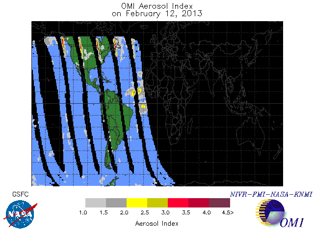
The UV Aerosol Index (AI) is a measure of the departure of the spectral dependence of the upwelling UV radiance of the actual atmosphere relative to that of a pure molecular atmosphere as given by accurate radiative transfer calculations. Near-zero AI values are produced when the radiative transfer processes accounted for in the forward model adequately explain the observations. Non-zero AI values may result from either geophysical phenomena unaccounted for in the radiative transfer calculations, or instrumental effects. For a well-calibrated sensor non-zero AI values are produced solely by geophysical effects, of which aerosols are by far the most important source.
Absorbing aerosols (desert dust, smoke, volcanic ash) decrease the spectral contrast yielding positive AI values whereas non-absorbing small aerosol particles (sulfate aerosols, weakly absorbing aerosols too close to the surface) increase it slightly resulting in small negative AI values. The AI is insensitive to clouds since large size non-absorbing particles produce near-zero AI values. The magnitude of the AI depends on aerosol properties (i.e., total optical depth, single scattering albedo, particle size distribution), aerosol layer height above the surface, cloud presence, and satellite viewing geometry.
The OMI Level3 data are in the form of grid averaged values written in ASCII format. For each 1.0-degree latitude by 1.0-degree longitude grid cell, all the OMI measurements in the cell have been averaged. Because of the difficulty in separating aerosol from non-aerosol related effects at large solar zenith angles, the AI is not included in the Level3 product for solar zenith angles larger than 70 degrees. This is the same format that has been used with the TOMS Level3 products.
Aerosol index is calculated as part of generating the ozone product, which is why that product is included below.
Browse Data
The format is explained more fully in the OMI Level 3 Data File Format.
| 1 deg lat × 1 deg long |
|---|
| 2004 |
| 2005 |
| 2006 |
| 2007 |
| 2008 |
| 2009 |
| 2010 |
| 2011 |
| 2012 |
| 2013 |
Images
2004
2005
2006
2007
2008
2009
2010
2011
2012
2013
Download Data:
You can find the OMAERUV Data Products Readme, Software Release Details and Product Format Details Here
You can find the OMTO3 Data Products Readme, Software Release Details and Product Format Details Here
Data Product: |
||||
Start Date: |
|
|||
End Date: |
|
|||
| If you want to download more than just a few days of data in the non-ASCII format click here |
Other Aerosol Data
Overpass Data (we suggest using Wordpad on
Windows to open these files)
OMI Weekly Aerosols