-

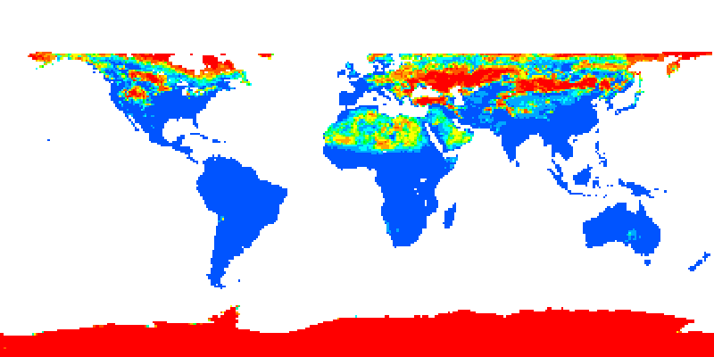
8 km Global Land Cover Data Set Derived from AVHRR
KMZ
Metadata
-

ALOS-PALSAR Images
KMZ
Metadata
-

AMAZON RIVER BASIN PRECIPITATION, 1972-1992
KMZ
Metadata
-

Atmospheric CO2 Consumption by Continential Erosion
KMZ
Metadata
-

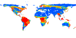
Bailey Ecoregions Map of the Continents (Reprojected)
KMZ
Metadata
-

BIGFOOT LAND COVER SURFACES FOR NORTH AND SOUTH AMERICAN SITES, 2000-2003
KMZ
Metadata
-

BIGFOOT LEAF AREA INDEX SURFACES FOR NORTH AND SOUTH AMERICAN SITES, 2000-2003
KMZ
Metadata
-

BIGFOOT NPP SURFACES FOR NORTH AND SOUTH AMERICAN SITES, 2000-2004
KMZ
Metadata
-

Continuous Satellite-derived Global Record of Monthly Land Surface Evapotranspiration (1983-2006)
KMZ
Metadata
-

Forest biomass related data across the Lower 48 States and Alaska
KMZ
Metadata
-

Forest Stand Age Map of Canada and the United States
KMZ
Metadata
-

GLOBAL 10-YEAR MEAN MONTHLY CLIMATOLOGY, 1901-1990 (NEW ET AL)
KMZ
Metadata
-

Global 1km Forest Canopy Height (Simard et al., 2011)
KMZ
Metadata
-

Global 30 Arc-Second Elevation Data Set (GTOPO30)
KMZ
Metadata
-

GLOBAL 30-YEAR MEAN MONTHLY CLIMATOLOGY, 1901-1960 (NEW ET AL.)
KMZ
Metadata
-
GLOBAL 30-YEAR MEAN MONTHLY CLIMATOLOGY, 1930-1960, V. 2.1 (CRAMER AND LEEMANS)
KMZ
Metadata
-
GLOBAL 30-YEAR MEAN MONTHLY CLIMATOLOGY, 1961-1990 (NEW ET AL.)
KMZ
Metadata
-

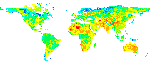
Global and Regional Land Cover Maps, 2000
KMZ
Metadata
-

GLOBAL DATA SET OF DERIVED SOIL PROPERTIES, 0.5-DEGREE GRID (ISRIC-WISE)
KMZ
Metadata
-

Global Data Set of Monthly Irrigated and Rainfed Crop Areas around the Year 2000 (MIRCA2000) version 1.1
KMZ
Metadata
-

Global Distribution of Cultivation Intensity at 1 Degree x 1 Degree Resolution
KMZ
Metadata
-

GLOBAL DISTRIBUTION OF PLANT-EXTRACTABLE WATER CAPACITY OF SOIL (DUNNE)
KMZ
Metadata
-

GLOBAL GRIDDED SURFACES OF SELECTED SOIL CHARACTERISTICS (IGBP-DIS)
KMZ
Metadata
-

Global Map of Irrigated Areas
KMZ
Metadata
-

GLOBAL MAPS OF ATMOSPHERIC NITROGEN DEPOSITION, 1860, 1993, AND 2050
KMZ
Metadata
-

GLOBAL MONTHLY PRECIPITATION, 1900-1999 (HULME)
KMZ
Metadata
-

Global River Fluxes of Carbon and Sediments to the Oceans
KMZ
Metadata
-

GLOBAL SOIL TEXTURE AND DERIVED WATER-HOLDING CAPACITIES (WEBB ET AL.)
KMZ
Metadata
-

Global Soil Types
KMZ
Metadata
-

GLOBAL SOIL TYPES, 0.5-DEGREE GRID (MODIFIED ZOBLER)
KMZ
Metadata
-

GLOBAL SOIL TYPES, 1-DEGREE GRID (ZOBLER)
KMZ
Metadata
-

GLOBAL VEGETATION TYPES, 1971-1982 (MATTHEWS)
KMZ
Metadata
-

ISLSCP II ATMOSPHERIC CARBON DIOXIDE CONSUMPTION BY CONTINENTAL EROSION
KMZ
Metadata
-

ISLSCP II AVHRR ALBEDO AND BRDF, 1995
KMZ
Metadata
-

ISLSCP II C4 VEGETATION PERCENTAGE
KMZ
Metadata
-

ISLSCP II CARBON DIOXIDE EMISSIONS FROM FOSSIL FUELS, CEMENT, AND GAS FLARING
KMZ
Metadata
-

ISLSCP II CLIMATE RESEARCH UNIT (CRU) MONTHLY CLIMATE DATA
KMZ
Metadata
-

ISLSCP II CLOUD AND METEOROLOGY PARAMETERS
KMZ
Metadata
-

ISLSCP II CONTINUOUS FIELDS OF VEGETATION COVER, 1992-1993
KMZ
Metadata
-

ISLSCP II CRU05 CLIMATE TIME SERIES (1986-1995) FOR GLOBAL LAND AREAS
KMZ
Metadata
-

ISLSCP II EARTH RADIATION BUDGET EXPERIMENT (ERBE) MONTHLY ALBEDO, 1986-1990
KMZ
Metadata
-

ISLSCP II ECOSYSTEM ROOTING DEPTHS
KMZ
Metadata
-

ISLSCP II EDGAR 3 GRIDDED GREENHOUSE AND OZONE PRECURSOR GAS EMISSIONS
KMZ
Metadata
-

ISLSCP II FASIR-ADJUSTED NDVI BIOPHYSICAL PARAMETER FIELDS, 1982-1998
KMZ
Metadata
-

ISLSCP II FASIR-ADJUSTED NDVI,1982-1998
KMZ
Metadata
-
ISLSCP II GIMMS MONTHLY NDVI, 1981-2002
KMZ
Metadata
-

ISLSCP II GLOBAL GRIDDED GROSS DOMESTIC PRODUCT (GDP), 1990
KMZ
Metadata
-

ISLSCP II GLOBAL GRIDDED SOIL CHARACTERISTICS
KMZ
Metadata
-

ISLSCP II GLOBAL POPULATION OF THE WORLD
KMZ
Metadata
-
ISLSCP II GLOBAL PRECIPITATION CLIMATOLOGY CENTRE (GPCC) MONTHLY PRECIPITATION
KMZ
Metadata
-

ISLSCP II GLOBAL PRECIPITATION CLIMATOLOGY PROJECT VERSION 1, PENTAD PRECIPITATION
KMZ
Metadata
-

ISLSCP II GLOBAL PRECIPITATION CLIMATOLOGY PROJECT VERSION 2, MONTHLY PRECIPITATION
KMZ
Metadata
-

ISLSCP II GLOBAL PRIMARY PRODUCTION DATA INITIATIVE GRIDDED NPP DATA
KMZ
Metadata
-

ISLSCP II GLOBAL RIVER FLUXES OF CARBON AND SEDIMENTS TO THE OCEANS
KMZ
Metadata
-

ISLSCP II GLOBAL SEA ICE CONCENTRATION
KMZ
Metadata
-

ISLSCP II GTS GAUGE-BASED ANALYSES OF DAILY PRECIPITATION OVER GLOBAL LAND AREAS
KMZ
Metadata
-

ISLSCP II HISTORICAL CROPLANDS COVER, 1700-1992
KMZ
Metadata
-

ISLSCP II HISTORICAL LAND COVER AND LAND USE, 1700-1990
KMZ
Metadata
-
ISLSCP II HYDRO1K ELEVATION-DERIVED PRODUCTS
KMZ
Metadata
-

ISLSCP II IGBP DISCOVER AND SIB LAND COVER, 1992-1993
KMZ
Metadata
-

ISLSCP II IGBP NPP OUTPUT FROM TERRESTRIAL BIOGEOCHEMISTRY MODELS
KMZ
Metadata
-
ISLSCP II MODIS (COLLECTION 4) ALBEDO, 2002
KMZ
Metadata
-
ISLSCP II MODIS (COLLECTION 4) IGPB LAND COVER, 2000-2001
KMZ
Metadata
-

ISLSCP II MONTHLY SNOW-FREE ALBEDO, 1982-1998, AND BACKGROUND SOIL REFLECTANCE
KMZ
Metadata
-
ISLSCP II NOAA 5-YEAR AVERAGE MONTHLY SNOW-FREE ALBEDO FROM AVHRR
KMZ
Metadata
-

ISLSCP II NORTHERN HEMISPHERE MONTHLY SNOW COVER EXTENT
KMZ
Metadata
-

ISLSCP II POTENTIAL NATURAL VEGETATION COVER
KMZ
Metadata
-

ISLSCP II RIVER ROUTING DATA (STN-30P)
KMZ
Metadata
-

ISLSCP II SEA SURFACE TEMPERATURE
KMZ
Metadata
-

ISLSCP II SNOW-FREE, SPATIALLY COMPLETE, 16 DAY ALBEDO, 2002
KMZ
Metadata
-

ISLSCP II TOTAL PLANT-AVAILABLE WATER STORAGE CAPACITY OF THE ROOTING ZONE
KMZ
Metadata
-

ISLSCP II UNH/GRDC COMPOSITE MONTHLY RUNOFF
KMZ
Metadata
-

ISLSCP II UNIVERSITY OF MARYLAND GLOBAL LAND COVER CLASSIFICATIONS, 1992-1993
KMZ
Metadata
-

LBA REGIONAL BOUNDARY FOR THE LEGAL AMAZON OF BRAZIL, 8-KM
KMZ
Metadata
-

LBA REGIONAL CARBON IN LIVE VEGETATION, 0.5-DEGREE (OLSON)
KMZ
Metadata
-

LBA REGIONAL DERIVED SOIL PROPERTIES, 0.5-DEG (ISRIC-WISE)
KMZ
Metadata
-

LBA REGIONAL FRESHWATER WETLANDS, 1-DEGREE (STILLWELL-SOLLER ET AL.)
KMZ
Metadata
-

LBA REGIONAL HISTORICAL CROPLANDS, 5-MIN, 1900-1992 (RAMANKUTTY AND FOLEY)
KMZ
Metadata
-

LBA REGIONAL POTENTIAL VEGETATION
KMZ
Metadata
-

LBA REGIONAL TREE COVER FROM AVHRR
KMZ
Metadata
-

LBA REGIONAL WETLANDS DATA SET, 1-DEGREE (MATTHEWS AND FUNG)
KMZ
Metadata
-

LBA-ECO CD-06 JI-PARANA RIVER BASIN LAND USE AND LAND COVER MAP, BRAZIL: 1999
KMZ
Metadata
-
LBA-ECO CD-06 LAND USE/LAND COVER TIME SERIES, JI-PARANA BASIN, BRAZIL: 1986-2001
KMZ
Metadata
-

LBA-ECO CD-06 PHYSICAL, POLITICAL, AND HYDROLOGIC MAPS, JI-PARANA RIVER BASIN, BRAZIL
KMZ
Metadata
-

LBA-ECO LC-01 LANDSAT TM LAND USE/LAND COVER, NORTHERN ECUADORIAN AMAZON: 1986-1999
KMZ
Metadata
-

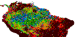
LBA-ECO LC-03 SAR IMAGES, LAND COVER, AND BIOMASS, FOUR AREAS ACROSS BRAZILIAN AMAZON
KMZ
Metadata
-

LBA-ECO LC-04 SATELLITE/CENSUS-BASED 5-MINUTE LAND USE DATA, AMAZONIA: 1980 AND 1995
KMZ
Metadata
-

LBA-ECO LC-07 AMAZON FLOODPLAIN LAKE CHLOROPHYLL FROM MODIS, PARA, BRAZIL: 2002-2003
KMZ
Metadata
-

LBA-ECO LC-07 JERS-1 SAR WETLANDS MASKS AND LAND COVER, AMAZON BASIN: 1995-1996
KMZ
Metadata
-
LBA-ECO LC-08 ECOSYSTEM DEMOGRAPHY MODEL ESTIMATED C, NPP, AND BIOMASS FOR AMAZONIA
KMZ
Metadata
-

LBA-ECO LC-09 LAND COVER TRANSITIONS MAPS FOR STUDY SITES IN PARA, BRAZIL: 1970-2001
KMZ
Metadata
-

LBA-ECO LC-09 LANDSAT TM AND ETM+ DATA, SITES IN RONDONIA AND PARA, BRAZIL: 1985-2004
KMZ
Metadata
-

LBA-ECO LC-15 AMAZON BASIN ABOVEGROUND LIVE BIOMASS DISTRIBUTION MAP: 1990-2000
KMZ
Metadata
-

LBA-ECO LC-15 JERS-1 SYNTHETIC APERTURE RADAR, 1- KM MOSAIC, AMAZON BASIN: 1995-1996
KMZ
Metadata
-

LBA-ECO LC-15 VEGETATION COVER TYPES FROM MODIS, 1-KM, AMAZON BASIN: 2000-2001
KMZ
Metadata
-

LBA-ECO LC-24 AVHRR DERIVED FIRE OCCURRENCE, 5-KM RESOLUTION, AMAZONIA: 2001
KMZ
Metadata
-

LEAF AREA INDEX MAPS AT 30-M RESOLUTION, SELECTED SITES, CANADA
KMZ
Metadata
-

LEAF AREA INDEX MAPS AT 30-M RESOLUTION, VALERI SITE, LAROSE, CANADA
KMZ
Metadata
-

MODIS (MCD12Q1) LAND COVER
KMZ
Metadata
-

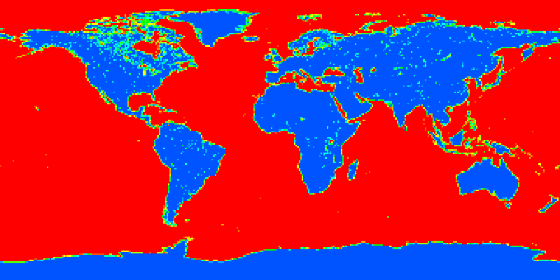
MODIS 250m land-water mask(MOD44W)
KMZ
Metadata
-

MODIS MOD12C1 0.25 Degree Land Cover
KMZ
Metadata
-

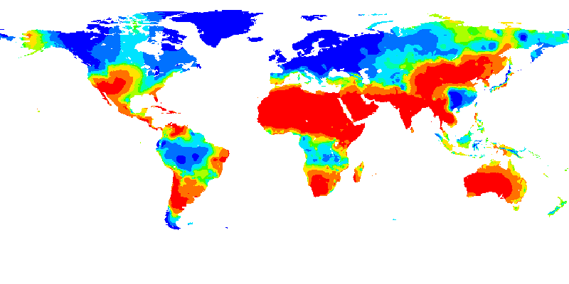
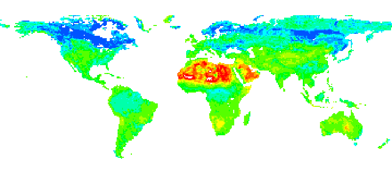
Monthly Palmer Drought Severity Index (PDSI)
KMZ
Metadata
-

NACP NORTH AMERICAN FOREST DYNAMICS PROJECT: FOREST DISTURBANCE AND REGROWTH DATA
KMZ
Metadata
-

National Land Cover Database
KMZ
Metadata
-

NITROGEN DEPOSITION ONTO THE UNITED STATES AND WESTERN EUROPE
KMZ
Metadata
-

PHENOREGIONS FOR MONITORING VEGETATION RESPONSES TO CLIMATE CHANGE
KMZ
Metadata
-
PRE-LBA CABARE MAPPED LAND SURFACE AND VEGETATION CHARACTERISTICS, RONDONIA, BRAZIL
KMZ
Metadata
-

Shuttle Radar Topography Mission (SRTM) Near-global Digital Elevation Models (DEMs)
KMZ
Metadata
-

SiB3 Carbon Flux Monthly/Daily/Hourly Data
KMZ
Metadata
-

Synergetic Land Cover Product (SYNMAP)
KMZ
Metadata
-

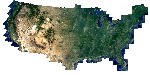
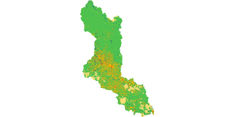
USDA NASS Cropland Data Layer (CDL)
KMZ
Metadata
-

VEMAP 2: U.S. ANNUAL CLIMATE, 1895-1993
KMZ
Metadata
-

WELD: Web Enabled Landsat Data
KMZ
Metadata
-

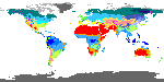
World map of the Koppen-Geiger climate classification
KMZ
Metadata