Environmental Restoration
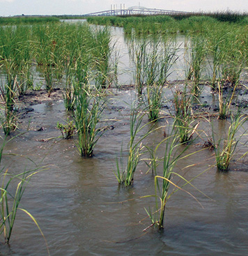
Every year oil and hazardous substances are discharged into our waterways, contaminating valuable wetlands and shellfish beds, closing fisheries and beaches, and increasing navigational dredging costs. Ship groundings destroy countless acres of seagrass beds and coral reefs annually.
These activities damage important habitat for plants and animals and degrade the quality of life for people who live near, work, and recreate in impacted areas.
The Office of Response and Restoration (OR&R) is responsible for evaluating and restoring coastal and estuarine habitats damaged by hazardous waste releases, oil spills, and vessel groundings. Scientists have specific expertise in aquatic risk assessment techniques, contaminated sediment issues, and data interpretation.
To fully accomplish this mission, OR&R joined with NOAA's General Counsel for Natural Resources and Office of Habitat Conservation to create the Damage Assessment, Remediation and Restoration Program (DARRP). This successful NOAA partnership tackles the challenges of environmental damages to ensure marine natural resources are protected and restored.
Explore NOAA's restoration efforts for the Deepwater Horizon/BP oil spill at www.gulfspillrestoration.noaa.gov.
|
To measure impacts on the marine environment, NOAA scientists employ a number of tools, the majority of which have been developed within NOAA. Take a look at the following selection of critical assessment tools which OR&R uses in the natural resource damage assessment process to restore public resources. These tools are also frequently used with OR&R mapping and spatial data products to determine environmental damage. An innovative example of a mapping product NOAA has developed is ERMA®, an online mapping tool that integrates both static and real-time data, in a centralized, easy-to-use format for environmental responders and decision makers. Find out more about how NOAA uses ERMA. |
")
")
")
