

All Satellites | Geostationary | Polar | NOAA Satellite Information System (NOAASIS)
Bulletins and Notices
|
General Satellite Messages Level 1B Notices Special Bulletins (NOAASIS) Special GOES Bulletins Additional Satellite Information General Satellite Information Satellite Operations Control Center (SOCC) MODIS Status |
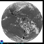
GOES East
|
Geostationary Operational Environmental Satellite (GOES) Dissemination Schedules Eclipse Schedules Office of Satellite Operations (OSO) - Home Page | GOES Page Office of Systems Development (OSD) - Home Page | GOES Page Imagery Atlantic Ocean Sectors (Includes SST and Tropical Floaters) Land Sectors: |
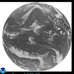
GOES West
|
Geostationary Operational Environmental Satellite (GOES) Dissemination Schedules Eclipse Schedules Office of Satellite Operations (OSO) - Home Page | GOES Page Office of Systems Development (OSD) - Home Page | GOES Page Imagery Pacific Ocean Sectors Land Sectors: |
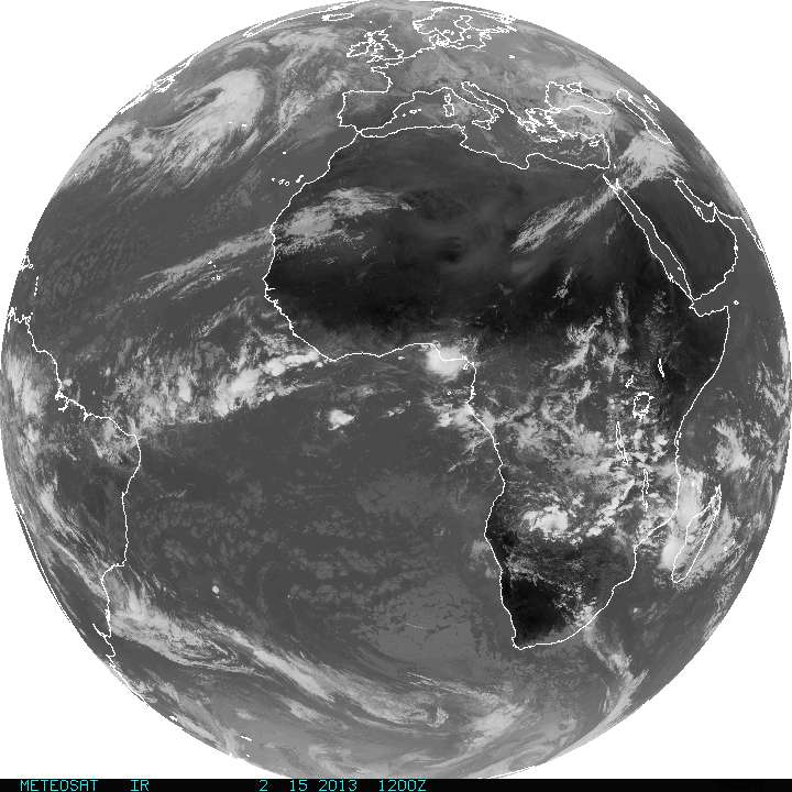
Meteosat (EUMETSAT)
|
EUMETSAT Home Page Eclipse Schedules Product/Dissemination Schedules Imagery Full Disk Images |
MTSAT-1R
|
Japan Meteorological Agency (JMA) Satellite Center Satellite Page Imagery From the Japan Meteorological Agency (JMA) Full Disk Images - Infrared | Visible Northern Pacific Countries/Islands (Guam and Micronesia) Southern Pacific Countries/Islands (Fiji, New Zealand, Vanuatu, etc) Pacific Ocean Sectors: West Central Pacific | West Pacific |
DMSP
|
Defense Meteorological Satellite Program (DMSP) Dissemination Schedules Ingest Logs Office of Satellite Operations (OSO) - Home Page | DMSP Page Office of Systems Development (OSD) - Home Page |
OSTM/Jason-2
|
The Ocean Surface Topography Mission (OSTM) Home Page Implementation Satellite Operations Registration Help for Jason-2 Data from CLASS |
METOP
|
EUMETSAT User Notification Service (UNS) METOP Home Page METOP Satellite Operations |
POES
|
Polar-orbiting Operational Environmental Satellite (POES) Ingest Logs and Schedules Pre-Processing Office of Satellite Operations (OSO) - Home Page | POES Page Office of Systems Development (OSD) - Home Page | POES Page | Launch Schedule National Polar-orbiting Operational Environmental Satellite System (NPOESS) System Status |
Contact Information: |
||
|
You are Here: http://www.osdpd.noaa.gov/ml/info/index.html
|


