Would you like to become an ARM user?
To propose and ARM campaign please follow these guidelines.
Facilities
A partnership between the ARM Climate Research Facility and ASR scientific expertise has been established to improve the understanding and model representation of aerosol, cloud, and precipitation processes and properties. The success of this research enterprise depends on this relationship.
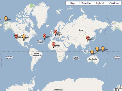
The ARM Facility is a DOE national scientific user facility with extensive long-term ground-based in situ and remote sensing observations that are supplemented with episodic airborne observations and laboratory studies. This infrastructure makes available heavily instrumented sites in the Southern Great Plains, North Slope of Alaska, and Tropical Western Pacific. Data collection began at the Southern Great Plains in late 1992, at the Tropical Western Pacific in 1996, and at the North Slope of Alaska in 1997.
Two mobile facilities and an aerial facility are also available for use through a competitive field campaign process. With over 60 instrument platforms in the field, ARM offers a wide range of measurements to conduct research, which are all made available through the ARM Data Archive.