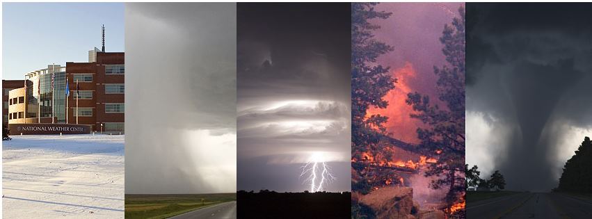
NOAA NWS Storm Prediction Center
is on Facebook.
To connect with NOAA NWS Storm Prediction Center, sign up for Facebook today.
Sign UpLog In
Cover Photo
NOAA NWS Storm Prediction Center - Norman, OK

NOAA NWS Storm Prediction Center
45,331 likes · 882 talking about this

  1. Photo: Severe weather continues to look possible across parts of central Texas on Saturday.  Severe hail and wind look to be the main threats.  Stayed tuned to the latest forecast at:  http://www.spc.noaa.gov/products/outlook/
  2. Photo: A heads-up that severe potential will be on the increase this weekend. A slight risk for storms producing severe hail and wind is forecast for parts of central TX on Saturday Night in the highlighted Day 3 Outlook. Severe storms are also anticipated on Sunday from east TX across the Lower MS Valley with the possibility of tornadoes and damaging winds.
  3. Photo: Several Tornado Watches are in effect this morning across the southeast United States (valid as of 07:15AM CST). A line of thunderstorms has developed along a cold front, and will pose a threat for widespread damaging winds and a few tornadoes. A Slight Risk has been outlooked for a large part of the eastern United States for today.
  4. Photo: The 13Z Convective Outlook issued by SPC continues to maintain a Moderate Risk for severe weather centered over Arkansas, where the highest threat for damaging winds and a few strong tornadoes will exist from this evening into late tonight. A Slight Risk covers much of the central United States, from the Texas/Louisiana coast northward into northern Illinois. 

Monitor the latest severe weather information at our website: http:///www.spc.noaa.gov

Earlier in February

Earlier in January