
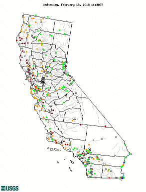
Real-time Water-quality Sites
Real-time water-quality sites - Data from automated equipment and represent the most current hydrologic conditions. Measurements are commonly recorded at 5-60 minute intervals and transmitted to the NWIS database every 1-4 hours. Real-time data are available online for 31 days. Values in pop-up bubbles are updated hourly from NWIS. Additional data for real-time sites.
Field water-quality measurements - Data from field and/or laboratory analyses of water samples, biological tissue, stream sediments, or other environmental samples. Data include approved, quality-assured data that may be published, and more recent provisional data, whose accuracy has not been verified. Additional data for water-quality sites.
Data are provisional and subject to revision.
[an error occurred while processing this directive]