

2010 Census Island Areas
American Samoa
Table (XLS)*
Map: Reference (PDF|JPEG)
Map: Population Totals (PDF|JPEG)
Map: Population Change (PDF|JPEG)
Supplemental Population Count - (XLS)
Housing Unit Counts (XLS)
Advance Report for Selected Characteristics (XLS)
*Includes revised population counts for two county subdivisions in American Samoa. See errata note.
Commonwealth of the Northern Mariana Islands
Table (XLS)
Map: Reference (PDF|JPEG)
Map: Population Totals (PDF|JPEG)
Map: Population Change (PDF|JPEG)
Supplemental Population Count (XLS)
Housing Unit Counts (XLS)
Advance Report for Selected Characteristics (XLS)
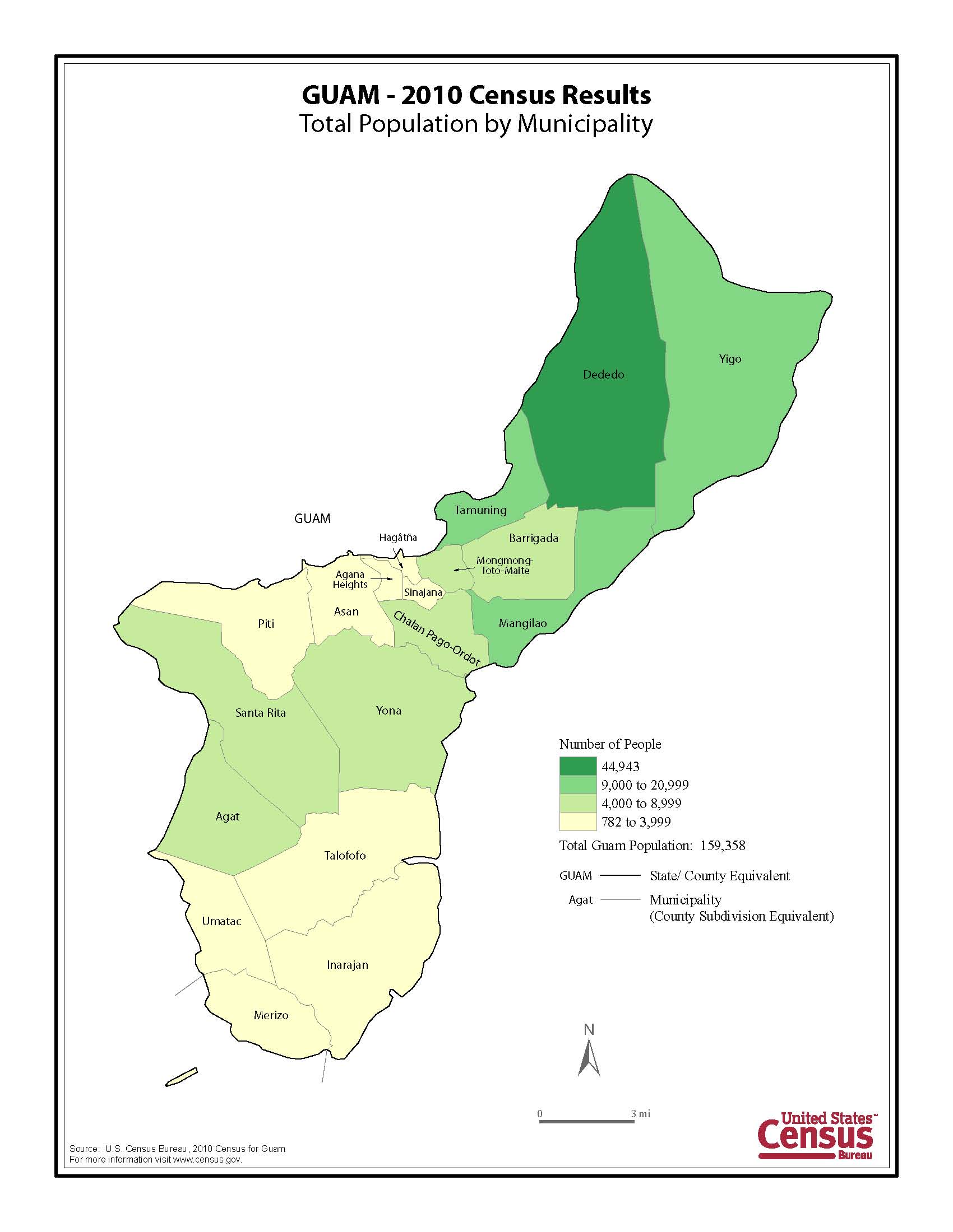
Guam
Table (XLS)
Map: Population Totals (PDF|JPEG)
Map: Population Change (PDF|JPEG)
Supplemental Population Count - (XLS)
Housing Unit Counts (XLS)
Advance Report for Selected Characteristics (XLS)
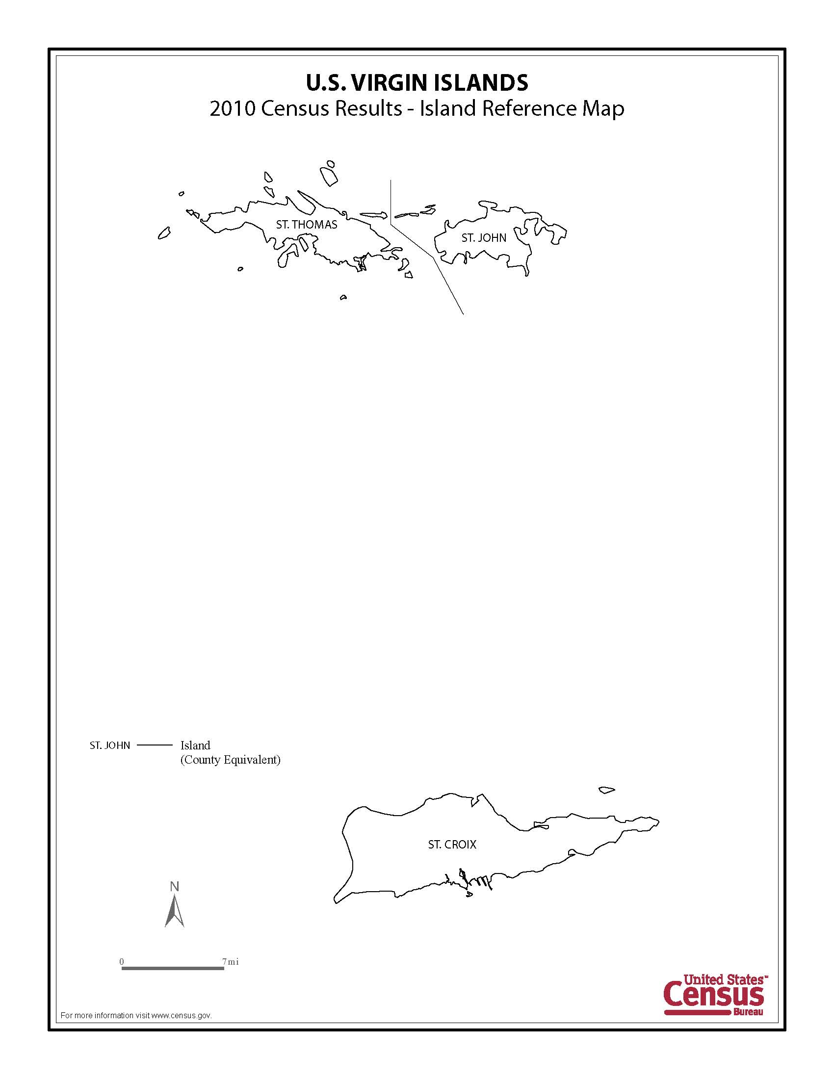
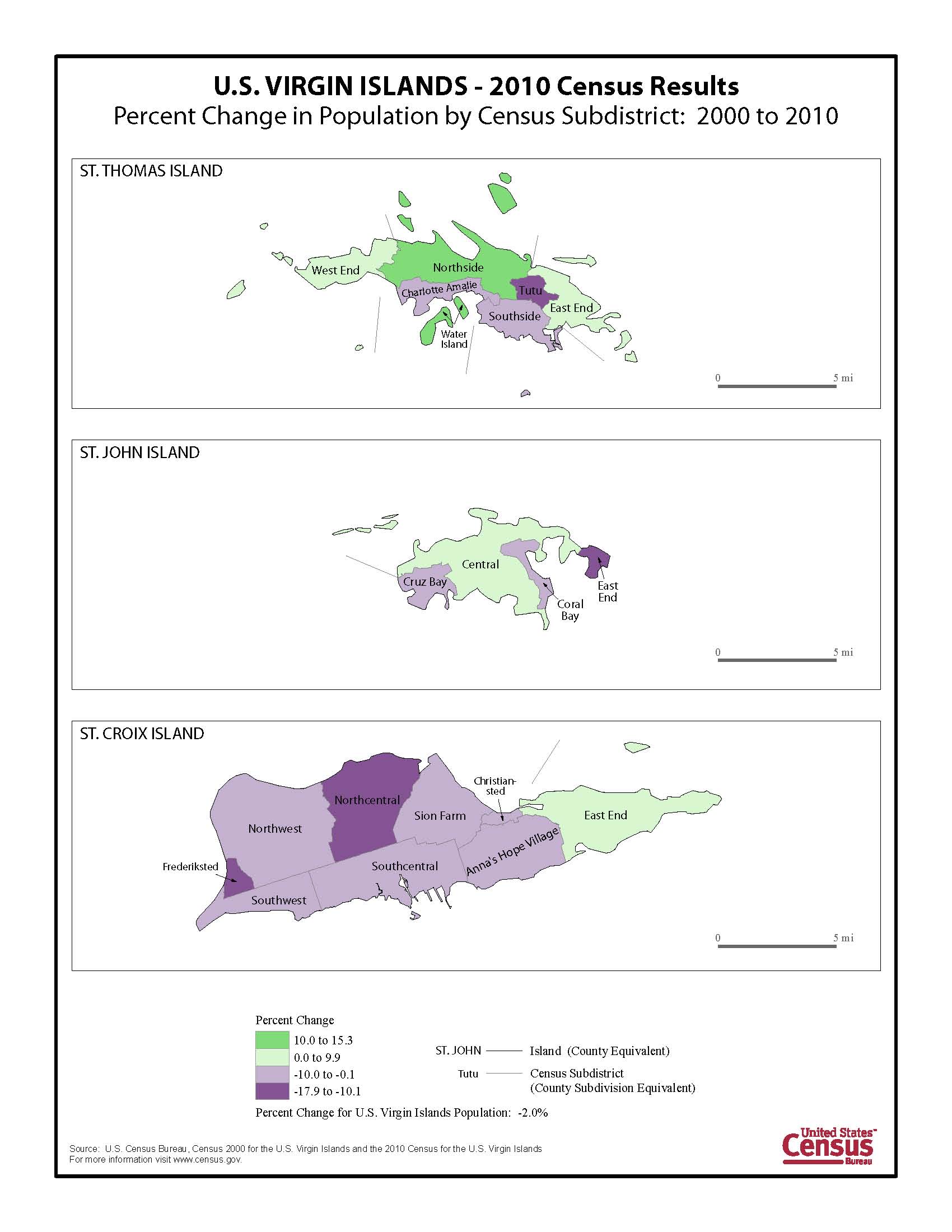
U.S. Virgin Islands
Table (XLS)
Map: Reference (PDF|JPEG)
Map: Population Totals (PDF|JPEG)
Map: Population Change (PDF|JPEG)
Supplemental Population Count - (XLS)
Housing Unit Counts (XLS)
Advance Report for Selected Characteristics (XLS)
Background
Census 2000 Island Areas Site
Census 2000 Island Areas Background Information
U.S. Census Bureau at a Glance [PDF]
2010 Census Data Products: United States -- At A Glance
2010 Census Data Product Descriptions [PDF]
Related Data Releases
Apportionment
Redistricting
Demographic Profiles
2010 Census Briefs
Center of Population
Summary File 1
Media Resources
Tip Sheets
Press contacts
U.S. Census Bureau Regional Offices
