

Ten million archive images of the Earth's surface are available for immediate selection and free download via the USGS Earth Resources Observation and Science (EROS) Center's Global Visualization Viewer. Users can preview
Below is a gallery of datasets and tools that have been highlighted on the Data.gov home page. Click on each slide to learn more about the data and link to the data itself.
This gallery displays just a tiny fraction of the datasets available to you on Data.gov. As we continue to add datasets, tools and highlights, we encourage you to explore all the valuable resources in our raw data, tools, and geodata catalogs.
 |
 The Geographic Distribution of VA Expenditures (GDX) is an annual report that shows estimated VA expenditures for major programmatic areas by geographic area (state, county, and congressional district). The major programm |
 VetPop2007 is VA's latest official estimate and projection of the veteran population and their characteristics from 4/1/2000 to 9/30/2036, projected as of 9/30/2006. This dataset contains the estimate and projection at t |
 In an effort to provide a snapshot of the quality of care provided at VA health care facilities, this report includes information about waiting times, staffing level, infection rates, surgical volumes, quality measures, p |
 Find and discuss health-related data from across the Federal Government. |
 The weekly reports of fatalities and catastrophes (FAT/CAT Reports) are tabulations of fatalities or catastrophes reported by OSHA Area Offices and State Plan states on an OSHA-36 form, Fatality/Catastrophe Report, to the |
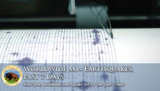 Real-time, worldwide earthquake list for the past 7 days. |
 Happy 3rd Anniversary, Data.gov! |