NWS Wakefield Tropical Cyclone Impact Graphics
Available Only When a Storm Threatens the
Mid Atlantic Region Within 2-3 Days |
 Wind Impact
 |
 Storm Surge Impact
 |
 Inland Flooding Impact
 |

Tornado Impact
|
NOAA Tropical Satellite Imagery |
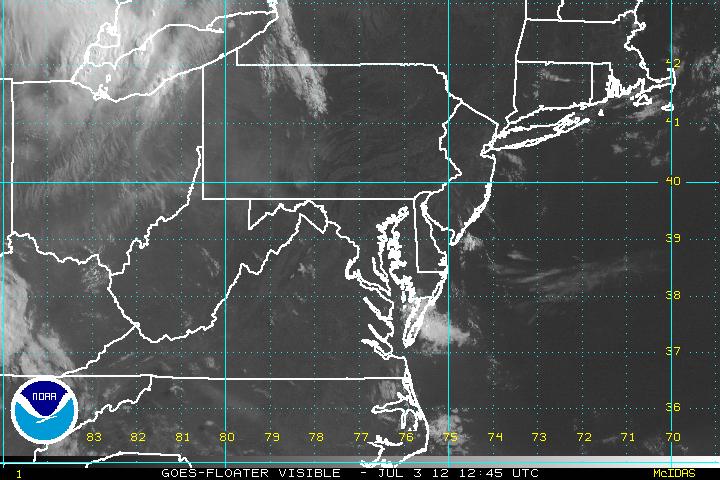
Visible Imagery |
|
|
|
Infrared Imagery |
|
|
|
Storm Centered Visible Imagery |
|
|
|
|
Storm Centered IR Imagery |
|
|
|
|


 Graphical Tropical


