Ocean Surface Winds Team
NOAA
|
NESDIS
|
STAR
|
SOCD
OSWT Home
|
Product Description
|
Data Products
|
Research
|
Contact US
Javascript is currently disabled on this computer. Without javascript, some display enhancements do not work;
however, all content is fully visible and accessible.
OSWT Home
Product Description
QuikSCAT/SeaWinds
OSCAT
ASCAT
WindSAT
ERS-2
SSM/I
Data Products
QuikSCAT/SeaWinds
OSCAT
ASCAT
WindSAT
ERS-2
SSM/I
Research
Contact Us
This is web site is not supported on a 24x7 basis and should not be considered operational.
This site only
All of NOAA
Advanced Search
Data from Satellite/Instruments:
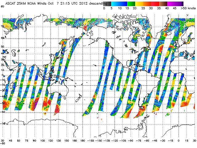
Advanced Scatterometer (ASCAT)
Additional Products
NOAA wind vectors 10x15 (25KM)
NOAA wind vectors 20x30 (50KM)
NOAA Directional Ambiguity
Wind Vectors 10X15 (25Km)
Wind Vectors 20X30 (50 Km)
Directional Ambiguity
Storm
Ultra High Resolution Winds (Gulf of Mexico)
Ice
Year
2012
2011
2010
Month
1
2
3
4
5
6
7
8
9
10
11
12
Day
1
2
3
4
5
6
7
8
9
10
11
12
13
14
15
16
17
18
19
20
21
22
23
24
25
26
27
28
29
30
31
Storm_ID:
Global(80N80S-180E180W)
Global(80N80S-180E180W)
Global(80N80S-180E180W)
Global(80N80S-180E180W)
Gulf of Mexico
Atlantic ocean
Eastern pacific
Western pacific
Central pacific
Northern pacific
Indian ocean
Southern Hemisphere
Alaska
Antarctic
Arctic
Ross Ice Shelf
Weddell Sea
Global(80N80S-180E180W)
Global(80N80S-180E180W)
Ascending Pass
Descending Pass
Last modified on April 28, 2009 4:04 PM
US Dept. of Commerce
|
NOAA
|
NESDIS
|
STAR
Privacy
|
Link & Product Disclaimers
|
Information Quality
Accessibility
|
contact webmaster