weather.gov
Home
News
Organization
Search
NWS
All NOAA
Search by city or zip code. Press enter or select the go button to submit request
Local forecast by
"City, St" or "ZIP"
Alternate Formats
Text
|
Mobile
Email
|
RSS
About Alternates
Cyclone Forecasts
Latest Advisory
Past Advisories
Audio/Podcasts
About Advisories
Marine Forecasts
Atlantic & E Pacific
Gridded Marine
About Marine
Tools & Data
Satellite
|
Radar
Analysis Tools
Aircraft Recon
GIS Datasets
Data Archive
Development
Experimental
Research
Forecast Accuracy
Outreach & Education
Prepare
Storm Surge
About Cyclones
Cyclone Names
Wind Scale
Most Extreme
Forecast Models
Breakpoints
Resources
Glossary
|
Acronyms
Frequent Questions
Our Organization
About NHC
Mission
|
Staff
Visitors
|
Virtual Tour
Library Branch
NCEP
|
Newsletter
Contact Us
Comments
NHC Analysis Tools
Below are tools and data made available for the web.
Atlantic
East Pacific
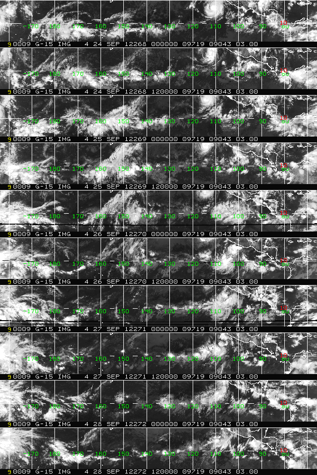
Hovmöller Diagram
(5 day Satellite)
Tropical Atlantic and Caribbean (GOES-E)
Gulf of Mexico and subtropical Atlantic
Eastern Atlantic and Africa (METEOSAT-9)
Southern CONUS
and subtropical
Atlantic (GOES-E)
East Pacific (GOES-W)
Upper-Air Time Sections
Selected Observing Stations
GFS Pressure Change Analysis
See image
See image
ASCAT Ocean Wind Data
See recent data
Streamlines
NCEP Model Analyses & Guidance
Sea Surface Temperature
Analysis and Anomalies
Tropical Rainfall
Experimental Text & Graphics
Quick Navigation Links:
Tropical Cyclone Forecasts
-
Tropical Marine Forecasts
-
Data Archive
Outreach
-
Prepare
-
About Cyclones
-
About NHC
-
Contact Us
NOAA/
National Weather Service
National Centers for Environmental Prediction
National Hurricane Center
11691 SW 17th Street
Miami, Florida 33165-2149 USA
nhcwebmaster@noaa.gov
Disclaimer
Credits
Information Quality
Glossary
Privacy Policy
Freedom of Information Act (FOIA)
About Us
Career Opportunities
Page last modified: Thursday, 23-Feb-2012 16:45:08 UTC


