
 Home
Home
MARINE WATERS HOMEDATARELATED ECOLOGY PROGRAMS
|
Water Surface ConditionsWithin two days of observation we report on visible features near the surface. These range from algae blooms, oil sheens to whales.
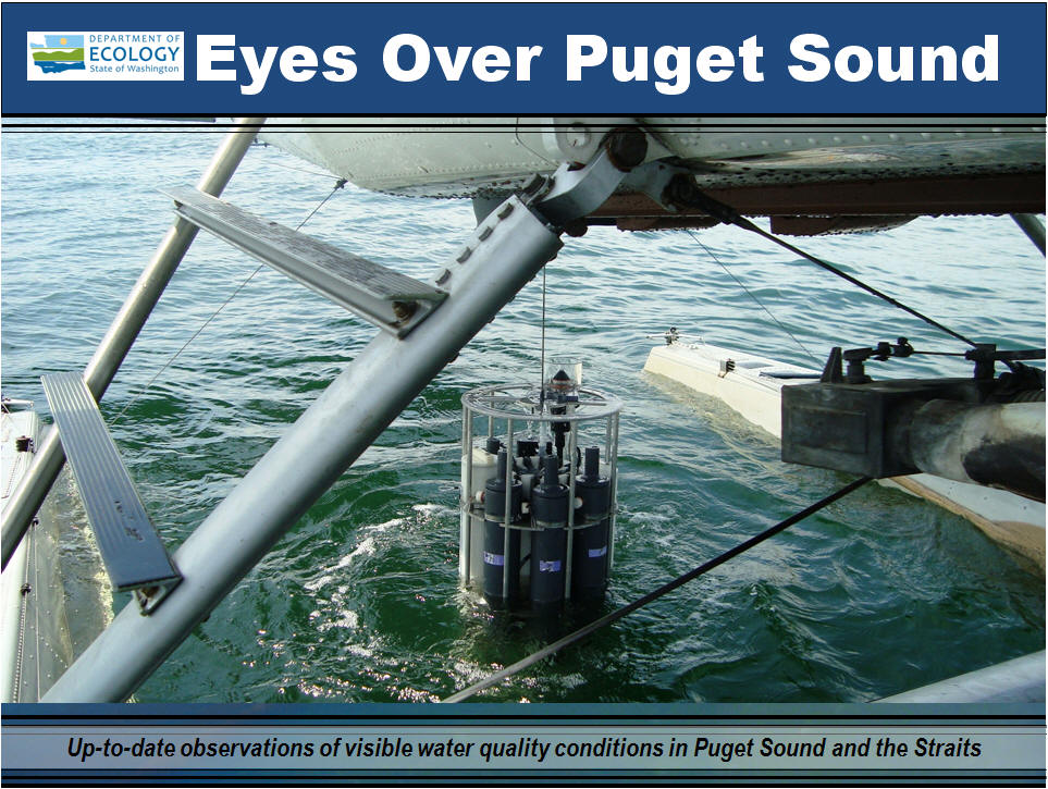
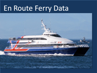
EOPS is a creative example how we leverage monitor information to be of greater educational and public value.Ecology's Marine Monitoring Unit conducts a variety of marine observations, at about 40 monthly visited monitoring stations. We use a floatplane and boat to reach all our marine stations, in Puget Sound to the Canadian border and Washington’s coastal bays. Once a month, we load up our camera and take photos of Puget Sound from the air to capture visible conditions such as algal blooms, oil sheens, river plumes and jellyfish. Back at the office, our science staff leaps into motion and adds graphics to the images describing current marine conditions in a larger context of space and time. EOPS (Eyes Over Puget Sound) combines high-resolution aerial photo observations with data from our monthly monitoring stations and en route ferry transects. |

|
|


|

|