What is GeoWeed
Latest release: GeoWeed 3.3.7 (March 2011)
GeoWeed is a geospatially enabled data collection and management tool for invasive plant project managers.

GeoWeed allows the weed manager and their field crews to record locations of invasive (or any) plants for early detection and management. Plant population sizes and locations may be tracked over time to monitor change using GPS points or polygons. Treatments and labor can optionally be tracked with a choice of granularity level.
GeoWeed uses a superset of the NAWMA weed mapping standard, and contains mostly a superset of the data collected in TNC-WIMS.
GeoWeed is free and open source software.
GeoWeed Features:

- Main application runs on desktop/laptop Windows XP computer using MS Access 2003.
- Satellite application for field use runs on handheld PDA using ESRI ArcPad 6 or 7.
- For any species (can be used for non-invasive plants as well)
- Record locations of patches (point / polygon), from GPS or maps
- Track history (size and status of patch over time, treatments applied)
- Record surveys (multispecies survey including absence data)
- Track photographs
- Records NAWMA superset
- Derived from TNS-WIMS, mostly superset of WIMS data.
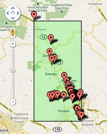
- Google Earth support

Also see the History of GeoWeed:

