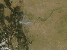
NASA's MODIS instrument captures wildfire in Fourmile Canyon, west of Boulder, Colorado.
- NASA Home
- > News & Features
- > News Topics
- > Looking at Earth
Earth News
In-Depth: Earth Topics
Top Features
Aqua Sees Smoke Plume from Fourmile Canyon Fire
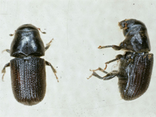
Satellites Show Wildfire-Beetle Attacks Connection
A new video shows how NASA maps pine beetle outbreaks, and what impact the beetle damage might have on forest fires.
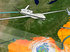
NASA Tops Off Earl Research with Historic Global Hawk ...
NASA completed a historic day for its hurricane research on Thursday as it put the Global Hawk over Earl, marking the first time the unmanned drone flew over a fully formed hurricane.
Latest Features
-

New Report Seeks to Improve Climate Forecasts
A new National Academy of Sciences report co-authored by a JPL scientist recommends ways to improve the accuracy of climate forecasts that span from weeks to a few years.
-

NASA Satellite Data Aids United Nations' Ability to Detect Global Fire Hotspots
In the midst of a difficult fire season in many parts of the world, the United Nations' (UN) Food and Agriculture Organization has launched a new online fire detection system that will help firefighters and natural hazards managers improve response time and resource management.
-

NASA Hurricane Researchers Eye Earl's Eye
Two advanced weather instruments from JPL are busy flying above Hurricane Earl, as NASA's field campaign to study how hurricanes form and intensify continues.
-

Fire on Oil Platform in Gulf of Mexico
Though obscured by clouds, NASA's Terra satellite was able to see smoke coming from an oil platform that caught fire Sept. 2, 2010.
-

Newest GOES Satellite Ready for Action
The latest Geostationary Operational Environmental Satellite, GOES-15 (also known as GOES-P), has been accepted into service.
-

NASA's Successful ICESat Mission Comes to an End
ICESat has provided a critical look at ice thickness at Earth's polar regions over the course of its seven-year life. That mission has now ended.
Latest News Releases
-
"Avatar" Director And NASA Focus On Earth Science Exploration In Psa Campaign
08.24.10 - James Cameron, director of the award-winning film "Avatar," is featured in a series of new NASA public service announcements that describe the many contributions of NASA's Earth science program to environmental awareness and exploration of our home planet.
-
Drought Drives Decade-Long Decline in Plant Growth
08.19.10 - Global plant productivity that once was on the rise with warming temperatures and a lengthened growing season is now on the decline because of regional drought according to a new study of NASA satellite data.
-
NASA Announces 2010 Global Climate Change Education Awards
08.17.10 - NASA has awarded $7.7 million in cooperative agreements to 17 organizations across the United States to enhance learning through the use of NASA's Earth science resources.
-
NASA Seeks Innovative Ideas About Human Health Challenges
08.17.10 - NASA will host LAUNCH: Health, a global forum focusing on health issues, at the agency's Kennedy Space Center in Florida from Oct. 30-31.
Hurricane Resource Page
-

See the Latest Imagery
Read the latest storm updates and view storm imagery at NASA's hurricane website.
Earth Image of the Day
-

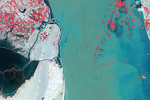
Indus River and Manchhar Lake →
Acquired September 5, 2010, this false-color image shows the Indus River and nearby Manchhar Lake, both swollen by floods.
Connect with NASA
-

What on Earth Blog →
Sharing the evolution of scientific debates, the practical application of NASA science, and -- most of all -- sharing the fun of watching science in progress.


