|
|
|
Metadata
|
|
ID
|
01072
|
|
Also Known As
|
01072
M-1-01-MA
|
|
Abstract
|
Chief Scientists: Rick Rendigs, Denis LeBlanc. Data (scuba,
diffusionsampler, GPS) of field activity 01072 (M-1-01-MA) in
Moody Pond, Mashpee, Massachusetts from 09/06/2001 to
09/26/2001
|
|
Project/Theme
|
Johns Pond Diffusion Sampling
|
|
Chief Scientist
|
Rick Rendigs
Denis LeBlanc
|
|
Platform
|
Moody Pond
|
|
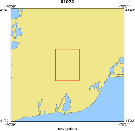
Area of Operation
|
Moody Pond, Mashpee, Massachusetts
|
|
Location map
|

|
|
Bounding Coordinates
|
41.65000
-70.55000 -70.50000
41.60000
|
|
Ports
|
leave boat ramp Moody Pond, MA
arrive boat ramp, Moody Pond, MA
|
|
Dates
|
09/06/2001 (JD 249) to 09/26/2001 (JD 269)
|
|
Analog Materials
|
No analog holdings.
|
|
Index map
|
|
|
Information Specialist
|
|
|
Crew
|
|
Rick Rendigs
|
Chief Scientist, USGS Woods Hole
|
|
Denis LeBlanc
|
Chief Scientist, USGS Woods Hole
|
|
Dann Blackwood
|
Unspecified, USGS Woods Hole
|
|
Ken Parolski
|
Unspecified, USGS Woods Hole
|
|
Barry Irwin
|
Unspecified, USGS Woods Hole
|
|
Mike Casso
|
Unspecified, USGS Woods Hole
|
|
Chuck Worley
|
Unspecified, USGS Woods Hole
|
|
Jennie Savoie
|
Unspecified, USGS WRD Northborough
|
|
|
Equipment Used
|
|
scuba
|
|
diffusionsampler
|
|
GPS
|
|
|
Purpose
|
|
Emplace and recover diffusion sampler bottles from the lake sediments
|
|
|
Information to be Derived
|
|
Geochemical concentrations (ppm-ppb) of volatile organic compounds (edb).
|
|
|
Notes
|
|
Installation and retreival of samplers will occur
|
|
on selected days on/about the weeks of 9/4 and 9/17/01.
|
|
|
Got Help?
|
For 01072, we would appreciate any information on -- activity type, analog materials, contract, days at sea, dive count, funding, kms of navigation, national plan, NGDC Info, organization, owner, project number, publications, scanned materials, seismic description, station count, station description, submersible, summary, tabulated info.
|
|


