|
|
|
Metadata
|
|
ID
|
07020
|
|
Also Known As
|
B-1-07-MA
07020
|
|
Abstract
|
United States Geological Survey, Woods Hole, Massachusetts.
Chief Scientists: Chuck Worley,, Timothy McCobb, USGS, WRD.
Data (Scuba) of field activity 07020 (B-1-07-MA) in Ashumet
Pond, Falmouth, Massachusetts, United States, North America
from 05/30/2007 to 05/30/2007
|
|
Organization
|
United States Geological Survey, Woods Hole, Massachusetts
|
|
Chief Scientist
|
Chuck Worley
Timothy McCobb
|
|
Area of Operation
|
Ashumet Pond, Falmouth, Massachusetts, United States, North America
|
|
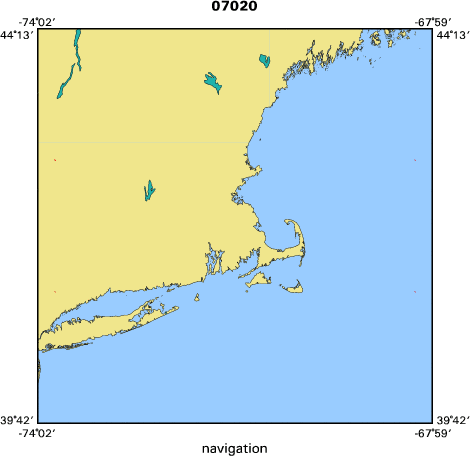
Location map
|

|
|
Bounding Coordinates
|
41.63333
-70.54167 -70.53333
41.62500
|
|
Ports
|
LEAVE
ARRIVE
|
|
Dates
|
05/30/2007 (JD 150) to 05/30/2007 (JD 150)
|
|
Analog Materials
|
No analog holdings.
|
|
Index map
|
|
|
Information Specialist
|
|
|
Crew
|
|
Chuck Worley
|
|
|
Rick Rendigs
|
Diver
|
|
Timothy McCobb
|
USGS, WRD
|
|
|
Equipment Used
|
|
|
Purpose
|
|
Assist WRD in water sampling
|
|
|
Notes
|
|
|
Funding
|
|
|
Got Help?
|
For 07020, we would appreciate any information on -- activity type, analog materials, contract, days at sea, dive count, information to be derived, kms of navigation, national plan, NGDC Info, owner, platform, project, project number, publications, scanned materials, seismic description, station count, station description, submersible, summary, tabulated info.
|
|


