|
|
|
Metadata
|
|
ID
|
90038
|
|
Also Known As
|
90038
NR-190-2
N-2-90-EC
|
|
Abstract
|
United States Geological Survey, Woods Hole, Massachusetts.
Chief Scientists: Peter Popenoe, Frank Manheim. Geological
data (underwatercamera, samples) of field activity 90038
(N-2-90-EC) in Blake Plateau, United States, North America
from 09/14/1990 to 10/03/1990
|
|
Organization
|
United States Geological Survey, Woods Hole, Massachusetts
|
|
Project/Theme
|
Exclusive Economic Zones (EEZ)
|
|
Chief Scientist
|
Peter Popenoe
Frank Manheim
|
|
Activity Type
|
Geological
|
|
Platform
|
NR-1
|
|
Area of Operation
|
Blake Plateau, United States, North America
|
|
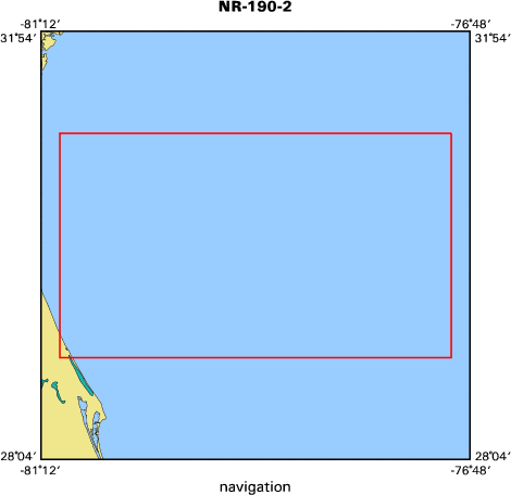
Location map
|

|
|
Bounding Coordinates
|
31.00000
-81.00000 -77.00000
29.00000
|
|
Ports
|
leave Charleston, NC
arrive Norfolk, VA
|
|
Dates
|
09/14/1990 (JD 257) to 10/03/1990 (JD 276)
|
|
Analog Materials
|
No analog holdings.
|
|
Index map
|
|
|
Crew
|
|
Peter Popenoe
|
Chief Scientist, USGS Woods Hole
|
|
Frank Manheim
|
Chief Scientist, USGS Woods Hole
|
|
|
Equipment Used
|
|
|
Purpose
|
|
Photo, sample, and observation.
|
|
|
Information to be Derived
|
|
Samples and Chemical Analysis; Morphology.
|
|
|
Notes
|
|
|
Got Help?
|
For 90038, we would appreciate any information on -- analog materials, contract, days at sea, dive count, funding, information specialist, kms of navigation, national plan, NGDC Info, owner, project number, publications, scanned materials, seismic description, station count, station description, submersible, summary, tabulated info.
|
|


