Flood Waters and Their Effects on Clouds Visible on Satellite
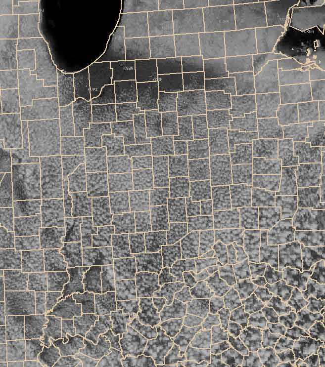
The visible satellite picture on the afternoon of March 24 shows not only the flood waters from area rivers but also the waters’ effects on cloud development. The first image below is the visible satellite picture without any geographical boundaries indicated. You can see the Wabash River near Terre Haute, as well as the Wabash River and White Rivers in Knox County (near Vincennes). The flooding is extensive enough that it can be seen from the satellite in orbit around the Earth. The flood waters are cooler than the surrounding land, and this delayed the development of clouds over the water. Thus there is a clear area along the path of the Wabash River near Terre Haute.
The second picture is for the same time as the first, but county boundaries have been added to the image.

Return to News Archive