|
|
|
Metadata
|
|
ID
|
87008
|
|
Also Known As
|
87008
FRNL87-2
F-2-87-MC
|
|
Abstract
|
United States Geological Survey, Woods Hole, Massachusetts.
Chief Scientists: Jim Robb, John Schlee, Malcolm Harris. Data
(Gloriasidescan) of field activity 87008 (F-2-87-MC) in
Middle Atlantic Bight EEZ from 03/01/1987 to 03/26/1987
|
|
Organization
|
United States Geological Survey, Woods Hole, Massachusetts
|
|
Project/Theme
|
Geological Long-Range Inclined Asdic (GLORIA)
|
|
Chief Scientist
|
Jim Robb
John Schlee
Malcolm Harris
|
|
Platform
|
Farnella
|
|
Area of Operation
|
Middle Atlantic Bight EEZ
|
|
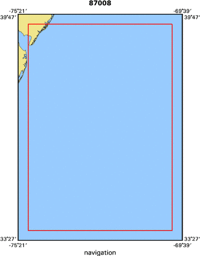
Location map
|

|
|
Bounding Coordinates
|
39.47760
-74.99760 0.00000
0.00000
|
|
Dates
|
03/01/1987 (JD 060) to 03/26/1987 (JD 085)
|
|
Analog Materials
|
No analog holdings.
|
|
Index map
|
|
|
Crew
|
|
Jim Robb
|
Chief Scientist, USGS Woods Hole
|
|
John Schlee
|
Chief Scientist, USGS Woods Hole
|
|
Malcolm Harris
|
Chief Scientist, IOS, UK
|
|
Mike Patterson
|
Captain, J. Marr And Sons
|
|
Nancy Soderberg
|
Unspecified, USGS Woods Hole
|
|
Chris Polloni
|
Unspecified, USGS Woods Hole
|
|
Mike Boyle
|
Unspecified, USGS Western Region
|
|
Millington Lockwood
|
Unspecified, NOAA
|
|
James Neiheisel
|
Unspecified, EPA
|
|
Steve Williams
|
Unspecified, IOS
|
|
Chris Flewellen
|
Unspecified, IOS
|
|
Rob Bonner
|
Unspecified, IOS
|
|
Dave Gunn
|
Unspecified, IOS
|
|
Linton Wedlock
|
Unspecified, RVS
|
|
|
Equipment Used
|
|
|
Purpose
|
|
|
Publications
|
|
Cruise Report exists at Woods Hole
|
|
|
Got Help?
|
For 87008, we would appreciate any information on -- activity type, analog materials, contract, days at sea, dive count, funding, information specialist, information to be derived, kms of navigation, national plan, NGDC Info, notes, owner, ports, project number, scanned materials, seismic description, station count, station description, submersible, summary, tabulated info.
|
|


