For a 1 or 2 km city-centered image, select which type of image you would
like and click on the map. Use the table below for all other views. All images will open in a new
window.
Here is a list of good weather satellite tutorials.
Animation and Java Trouble Shooting
In general, colors related to temperature,
warm-->cold is:
dark gray-->light gray-->yellow-->red-->bue
The brighter the color, the colder temperatures are.
RAMSDIS
Online is an online satellite looper. These loops consist
of 480x640 pixel-sized GIF images, each of which are about 200 KB.
Each of the animation loops contain between 8 and 24 images. So trying
to view the loops with a slow connection will take some time. However,
if you have the patience you can view nice satellite loops.
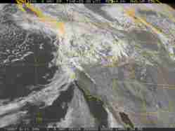
A vast majority of the satellite pictures you will
ever see come from GOES satellites (pictured above). GOES stands
for Geostationary Orbiting Environmental Satellite.
Currently there are two GOES satellites in operation: GOES 12
covers the Western Atlantic and eastern half of North America and
GOES 10 provides pictures for the eastern Pacific and western
half of North America. These instruments can provide much more information
with much better resolution than earlier GOES satellites as evident
by some of the links below. Below are views over the earth ranging
from the 1 km visible image over Central California to full disk views.