USGS Digital Raster Graphics
|
USGS Topomaps Home DRG Status Graphic DRG Program Overview DRG Points of Contact Updates and Product Maintenance Standards and Other Technical Information USGS Digital Data Viewing Software |
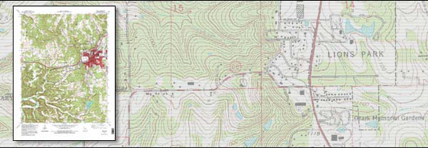 7.5-minute Digital Raster Graphic What is a Digital Raster Graphic?A digital raster graphic (DRG) is a scanned image of a U.S. Geological Survey (USGS) standard series topographic map, including all map collar information. The image inside the map neatline is georeferenced to the surface of the earth and fit to the Universal Transverse Mercator projection. The horizontal positional accuracy and datum of the DRG matches the accuracy and datum of the source map. The map is scanned at a minimum resolution of 250 dots per inch.Product description, prices, ordering information Download free GeoPDF versions from the USGS Store |

![]() U.S. Department of the Interior |
U.S. Geological Survey
U.S. Department of the Interior |
U.S. Geological Survey
URL: http://topomaps.usgs.gov/drg/index.html
Page Contact Information: Contact USGS
Page Last Modified: Tuesday, 29-Apr-2008 15:23:54 EDT
