Hazardous Weather Information
|
|
| |||||||||||||||||||||||||||||||||||||||||||||
|
Current Radar

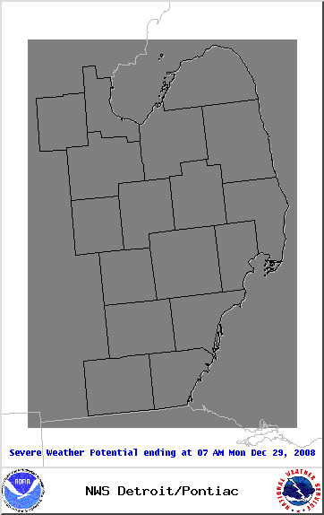
Current Day 1 Severe Weather Outlook
|
|||||||||||||||||||||||||||||||||||||||
|
Similar warnings and statements are also available from across the Great Lakes
|
||||||||||||||||||||||||||||||||||||||||
Snowfall Probability Forecasts
The following charts depict the probability of snowfall reaching
or exceeding 4, 8 and 12 inches. Click on a thumbnail to enlarge.
or exceeding 4, 8 and 12 inches. Click on a thumbnail to enlarge.
| ≥ 4 inches | ≥ 8 inches | ≥ 12 inches |

Day 1 |

Day 1 |

Day 1 |

Day 2 |

Day 2 |

Day 2 |

Day 3 |

Day 3 |

Day 3 |
Freezing Rain Probability Forecasts
The following charts depict the probability of freezing rain reaching
or exceeding .25 inches. Click on a thumbnail to enlarge.
or exceeding .25 inches. Click on a thumbnail to enlarge.

Day 1 |
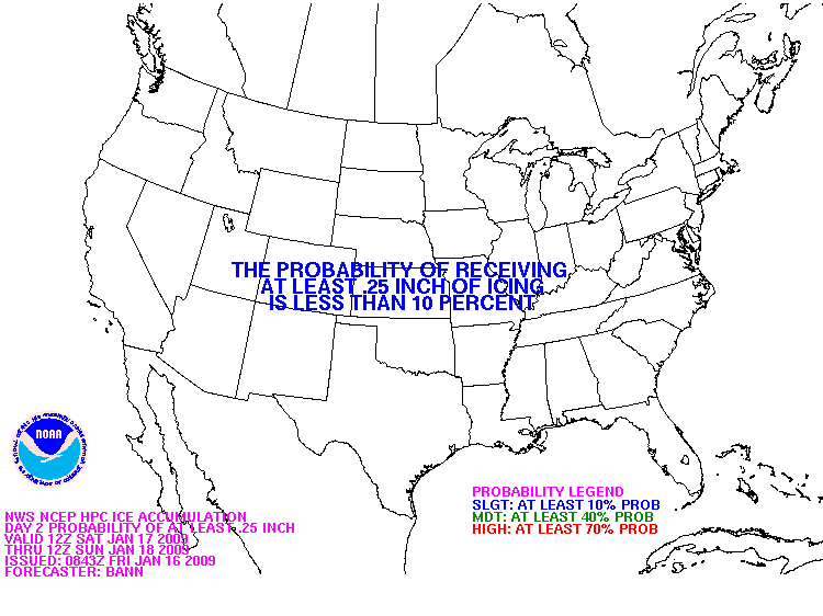
Day 2 |

Day 3 |
|
Day 1 Convective
Outlook |
Day 2 Convective
Outlook |
Day 3 Convective
Outlook |

|
|
|
|
Convective Watches
|
Mesoscale Convective Discussions
|
Watch / Warning / Advisory Map
|

|

|

|
Safety Information and Tips
| Thunderstorm Safety Information | Thunderstorm Safety Tips |
| Tornado Safety Information | Tornado Safety Tips |
| Flood Safety Information | Flood Safety Tips |
| Winter Storm Safety Information | Winter Storm Safety Tips |
| Heat Safety Information | Heat Safety Tips |
| Other NWS Publications | |
- NOAA's National Weather Service
- Detroit/Pontiac, MI Weather Forecast Office
- 9200 White Lake Road
- White Lake, MI 48386
- 248-620-9804
- Page Author: DTX Webmaster
- Web Master's E-mail: w-dtx.webmaster@noaa.gov
- Page last modified: 10-Jul-2008 1:09 PM UTC