
|
|
|
|
Metadata
|
|
ID
|
93017
|
|
Also Known As
|
G-18-93-LE
93017
|
|
Abstract
|
United States Geological Survey, Woods Hole, Massachusetts.
Chief Scientists: Ron Circe, Jonathan Fuller - Ohio
Geological Survey. Data (SSS, subbottom profiler, Q-MIPS,
grab sampler, gravity corer,, diver corer, video, 35mm
camera, diver communication system) of field activity 93017
(G-18-93-LE) in Ashtabula, Cleveland, Ohio, Lake Erie, Great
Lakes, United States, North America from 08/09/1993 to
08/23/1993
|
|
Organization
|
United States Geological Survey, Woods Hole, Massachusetts
|
|
Project/Theme
|
Great Lakes - Ohio Co-op
|
|
Chief Scientist
|
Ron Circe
Jonathan Fuller - Ohio Geological Survey
|
|
Platform
|
GS-1
|
|
Owner
|
Ohio Geological Survey, Sandusky, Oh
|
|
Area of Operation
|
Ashtabula, Cleveland, Ohio, Lake Erie, Great Lakes, United States, North America
|
|
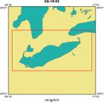
Location map
|
|
|
Bounding Coordinates
|
43.50000
-84.00000 -78.00000
41.25000
|
|
Ports
|
LEAVE Sandusky, OH
ARRIVE Sandusky, OH
|
|
Dates
|
08/09/1993 (JD 221) to 08/23/1993 (JD 235)
|
|
Analog Materials
|
No analog holdings.
|
|
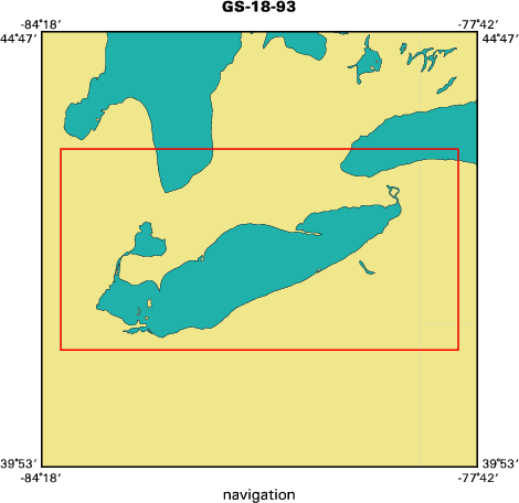
Index map
|
|
|
Information Specialist
|
|
|
Crew
|
|
Ron Circe
|
Chief Scientist
|
|
Jonathan Fuller
|
Ohio Geological Survey, Chief Scientist
|
|
|
Equipment Used
|
|
SSS, subbottom profiler,
|
(Q-MIPS, grab sampler, gravity corer,)
|
|
diver corer, video, 35mm
|
(camera, diver communication system)
|
|
|
Purpose
|
|
Ground truthing and nearshore geophysical surveys of Lake Erie.
|
|
|
Summary
|
|
|
Notes
|
|
Data types: 10 folders SSS printouts, 24 VHS tapes (boomer?), 3 rolls
|
|
boomer profiles, 1 seismics log, raw navigation, edited navigation,
|
|
16 trackmaps (copies)
|
|
This cruise was part of a series of USGS/OGS co-operative
|
|
cruises to map Lake Erie. Submitted by A. Orton for R. Circe
|
|
10/17/08.
|
|
|
Project Number
|
|
|
Funding
|
|
|
Got Help?
|
For 93017, we would appreciate any information on -- activity type, analog materials, contract, days at sea, dive count, information to be derived, kms of navigation, national plan, NGDC Info, publications, scanned materials, seismic description, station count, station description, submersible, tabulated info.
|
|


