
|
|
|
|
Metadata
|
|
ID
|
94052
|
|
Also Known As
|
L-52-94-PR
94052
|
|
Abstract
|
United States Geological Survey, Woods Hole, Massachusetts.
Chief Scientist: Rob Thieler. Geodetic data (2 Ashtech Z
Surveyors dual frequency GPS receivers: one as, base
station, one as backpack unit.) of field activity 94052
(L-52-94-PR) in Punta Higuero to Punta Cadena, Rincon, Puerto
Rico, Greater Antilles, Caribbean, United States, North
America, North Atlantic from 08/24/1994 to 08/24/1994
|
|
Organization
|
United States Geological Survey, Woods Hole, Massachusetts
|
|
Project/Theme
|
Insular Shelf - Puerto Rico
|
|
Chief Scientist
|
Rob Thieler
|
|
Activity Type
|
Geodetic
|
|
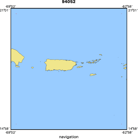
Area of Operation
|
Punta Higuero to Punta Cadena, Rincon, Puerto Rico, Greater Antilles, Caribbean, United States, North America, North Atlantic
|
|
Location map
|

|
|
Bounding Coordinates
|
20.75000
-68.75000 -63.25000
15.25000
|
|
Ports
|
LEAVE
ARRIVE
|
|
Dates
|
08/24/1994 (JD 236) to 08/24/1994 (JD 236)
|
|
Analog Materials
|
No analog holdings.
|
|
Index map
|
|
|
Information Specialist
|
|
|
Crew
|
|
Rob Thieler
|
Chief Scientist
|
|
Rob Thieler
|
PI
|
|
Barry Irwin
|
Geodesist
|
|
Joe Irwin
|
Tech.
|
|
|
Equipment Used
|
|
2 Ashtech Z Surveyors dua
|
(l frequency GPS receivers: one as)
|
|
base station, one as back
|
(pack unit.)
|
|
|
Information to be Derived
|
|
|
Summary
|
|
Shoreline walks with GPS backpack for shoreline position.
|
|
|
Notes
|
Navigation technique: GPS.
|
|
Report submitted 07/2008 by A. Orton for R. Thieler.
|
|
1 days at sea.
|
|
|
Funding
|
|
|
Got Help?
|
For 94052, we would appreciate any information on -- analog materials, contract, days at sea, dive count, kms of navigation, national plan, NGDC Info, owner, platform, project number, publications, purpose, scanned materials, seismic description, station count, station description, submersible, tabulated info.
|
|


