|
|
|
Metadata
|
|
ID
|
03017
|
|
Also Known As
|
03017
O-1-03-MA
O103MA
|
|
Abstract
|
University of New Hampshire,United States Geological Survey,
Woods Hole, Massachusetts. Chief Scientists: Brad Butman,
Larry Mayer, Susan Snow-Cotter. Data (multibeam,
opticalbackscattersensor) of field activity 03017 (O-1-03-MA)
in Gulf of Maine, United States, North America, North
Atlantic from 12/15/2003 to 01/02/2004
|
|
Organization
|
University of New Hampshire
United States Geological Survey, Woods Hole, Massachusetts
|
|
Project/Theme
|
High-resolution Geologic Mapping Offshore of Massachusetts
|
|
Chief Scientist
|
Brad Butman
Larry Mayer
Susan Snow-Cotter
|
|
Platform
|
Oceanexplorer
|
|
Area of Operation
|
Gulf of Maine, United States, North America, North Atlantic
|
|
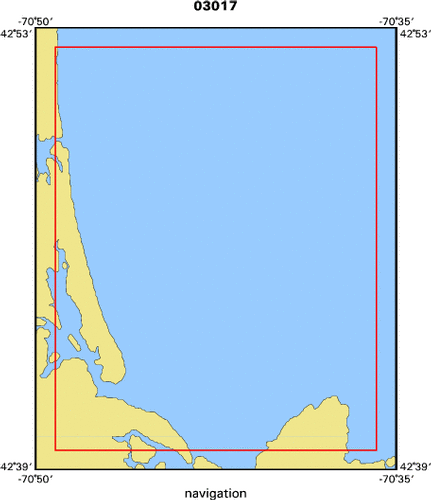
Location map
|

|
|
Bounding Coordinates
|
42.86667
-70.81667 -70.60000
42.66667
|
|
Ports
|
leave Gloucester
arrive Gloucester
|
|
Dates
|
12/15/2003 (JD 349) to 01/02/2004 (JD 002)
|
|
Analog Materials
|
No analog holdings.
|
|
Index map
|
|
|
Crew
|
|
Brad Butman
|
Chief Scientist, USGS Woods Hole
|
|
Larry Mayer
|
Chief Scientist, University of New Hampshire
|
|
Susan Snow-Cotter
|
Chief Scientist, Mass CZM
|
|
Bill Danforth
|
field ops, data quality and archive, USGS Woods Hole
|
|
Brian Andrews
|
field ops, data quality and archive, USGS Woods Hole
|
|
Ilya Buynevich
|
science, USGS Woods Hole
|
|
|
Equipment Used
|
|
multibeam
|
|
opticalbackscattersensor
|
|
|
Purpose
|
|
Carry out multibeam survey (bathymetry and backscatter intensity) of an
|
|
area offshore of Massachusetts in the the western Gulf of Maine north of Cape
|
|
Ann. The survey will be carried out under contract by the Univeristy of New
|
|
Hampshire.
|
|
|
Notes
|
|
It is anticipated that SAIC will carry out this work using the R/V
|
|
OceanExplorer under subcontract to the University of New Hampshire (UNH).
|
|
election of appropriate contractor will be made by UNH.
|
|
|
Got Help?
|
For 03017, we would appreciate any information on -- activity type, analog materials, contract, days at sea, dive count, funding, information specialist, information to be derived, kms of navigation, national plan, NGDC Info, owner, project number, publications, scanned materials, seismic description, station count, station description, submersible, summary, tabulated info.
|
|


