|
|
 |
|
 |
|
California Home
|
|
|
|
Lower Feather WatershedUpdated:
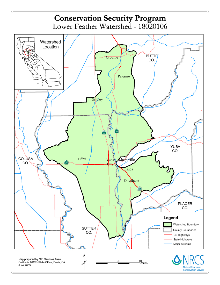
03/10/2006 Description of WatershedThe total estimated area in the Lower Feather Watershed is 369,150 acres. This watershed is located in Butte, Sutter, and Yuba counties in Northern California. The primary land uses in this watershed consist of rangeland, orchard/vineyards, irrigated cropland and pastureland. The watershed area is a combination of Sacramento and San Joaquin Valleys resource areas. The topography is primarily nearly level for most of the watershed, but ranges from gently rolling to very steep in the Sutter Buttes area. The soils range from moderately deep to very deep. There are approximately 1,169 working farms in the watershed averaging 204 acres. Cropland accounts for about 103,850 acres with rice as the primary crop. Rangeland accounts for approximately 90,450 acres; much of it is oak woodland and/or annual grassland. Pastureland acres are approximately 26,400. Orchard/vineyards cover approximately 108,330 acres. Total acreage of cropland, pasture, orchard, and vineyard that is irrigated is approximately 238,580. Resource concerns in the watershed include water quality, water quantity, nutrients, and sediments.
Map of Lower Feather Watershed
For general and application information, visit the NRCS CSP Web page. Counties in the Watershed
Program ContactsHue Dang, Watershed Team Leader Butte CountyNRCS Butte County Service Center Sutter CountyNRCS Yuba City Service Center Yuba CountyNRCS Yuba City Service Center CSP Producer WorkshopsGo to the CSP Workshops page for information on where and when producer workshops will be held.California CSP Enhancements, New Practice List & Stewardship PaymentsThese documents require
Adobe Acrobat,
Microsoft PowerPoint
or Microsoft Excel.
|
|
|
|