|
|
|
|
Metadata
|
|
ID
|
05036
|
|
Also Known As
|
05036
M-1-05-LE
|
|
Abstract
|
United States Geological Survey, Woods Hole, Massachusetts.
Chief Scientist: John Bratton, Sheridan Haack, USGS-WRD-MI.
Data (Sensors-temperature and salinity, Sensors-pressure,
Radon mapping system including RAD7s, YSI WQ sonde, pumps,,
nav system, tubing, spray chamber, radium sampling equipment,
radon, grab sampling and analysis equipment, deep-towed pump
intake system, Research vessel, Niskin-type sterile sampling
containers,, Ponar clamshell sediment sampler) of field
activity 05036 (M-1-05-LE) in Western Lake Erie, Michigan,
Ohio, United States, North America, from 09/12/2005 to
09/16/2005
|
|
Organization
|
United States Geological Survey, Woods Hole, Massachusetts
|
|
Project/Theme
|
Coastal Groundwater Systems
Coastal Change Hazards
|
|
Chief Scientist
|
John Bratton
|
|
Platform
|
Musky II
|
|
Area of Operation
|
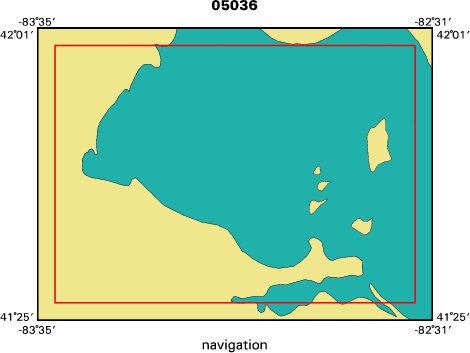
Western Lake Erie, Michigan, Ohio, United States, North America,
|
|
Location map
|

|
|
Bounding Coordinates
|
41.97950
-83.53880 -82.55980
41.45610
|
|
Ports
|
SEP 12, 2005 - Sandusky, Ohio
SEP 16, 2005 - Sandusky, Ohio
|
|
Dates
|
09/12/2005 (JD 255) to 09/16/2005 (JD 259)
|
|
Analog Materials
|
No analog holdings.
|
|
Index map
|
|
|
Information Specialist
|
|
|
Crew
|
|
John Bratton
|
|
John Crusius
|
co-chief scientist, geochemistry
|
|
Dirk Koopmans
|
technician
|
|
Sheridan Haack
|
USGS-WRD-MI
|
|
Mike Bur
|
USGS-BRD-OH, aquatic biologist, Bowfin Captain
|
|
Tim Cherry
|
(Musky II)
|
|
|
Equipment Used
|
|
Sensors-temperature and s
|
(alinity)
|
|
Sensors-pressure
|
|
Radon mapping system incl
|
(uding RAD7s, YSI WQ sonde, pumps, )
|
|
nav system, tubing, spray
|
|
grab sampling and analysi
|
(s equipment, deep-towed pump intake system)
|
|
Research vessel, Niskin-t
|
(ype sterile sampling containers, )
|
|
Ponar clamshell sediment
|
(sampler)
|
|
|
Purpose
|
|
Radon mapping in areas of suspected sublacustrine
|
|
|
Information to be Derived
|
|
Samples and Chemical Analysis;Geoapatially referenced radon
|
|
|
Summary
|
|
We circumnavigated S. Bass Island and examined the Starve
|
|
|
Notes
|
|
Navigation Techniques: GPS
|
|
Platforms used: Musky II and Bowfin
|
|
|
Got Help?
|
For 05036, we would appreciate any information on -- activity type, analog materials, contract, days at sea, dive count, funding, kms of navigation, national plan, NGDC Info, owner, project number, publications, scanned materials, seismic description, station count, station description, submersible, tabulated info.
|
|