weather.gov
Home
Site Map
News
Organization
Search
NWS
All NOAA
National Oceanic and Atmospheric Administration
National Weather Service
Pacific Region Headquarters
Central Pacific Hurricane Center Home
Active Central North Pacific Tropical Systems
No active Central Pacific Tropical Cyclones
Eastern Pacific (East of 140W)
No active Eastern Pacific Cyclones - monitored by the
NHC
Storm Information
Text Products
Satellite Interpretation Message
Northern Hemisphere Tropical Cyclone Summeries
issued every 6 hours when active tropical cyclones are in the Central Pacific
Southern Hemisphere Tropical Cyclone Summaries
issued every 6 hours when active tropical cyclones are in the South Pacific
Tropical Weather Outlook
issued 4 times daily June through November
Tropical Weather Summary
issued at the beginning of each month from July to December, summarizing the previous month's tropical cyclone activity
Satellite Imagery
Floaters
Worldwide Tropical Cyclone Storm Floaters
NESDIS Atlantic Satellite Products
NESDIS East Pacific Satellite Products
SST
SST from 120W to the dateline
SST from 120W to the dateline - 2 month loop
SST East and Central Pacific
Pacific SST
Imagery for the Central Pacific
Visible
Image
-
Loop
Infrared
Image
-
Loop
Shortwave IR
Image
-
Loop
Water Vapor
Image
-
Loop
AVN Color Curve
Image
-
Loop
BD Color Curve
Image
-
Loop
FT Color Curve
Image
-
Loop
JSL Color Curve
Image
-
Loop
RB Color Curve
Image
-
Loop
RGB Color Curve
Image
-
Loop
DMSP SSM/I Microwave Instrument
85 GHz Radiance
Image
-
Loop
Precipitable Water
Image
-
Loop
Rain Rate
Image
-
Loop
Surface Winds
Image
-
Loop
AMSU Microwave Instrument
85 GHz Radiance
Image
-
Loop
Precipitable Water
Image
-
Loop
Rain Rate
Image
-
Loop
NASA TRMM Satellite
85 GHz H-Pol
Image
37 GHz H-Pol
Image
Rain Rate
Image
Imagery for the Eastern Pacific
Visible
Image
-
Loop
Infrared
Image
-
Loop
Shortwave IR
Image
-
Loop
Water Vapor
Image
-
Loop
AVN Color Curve
Image
-
Loop
BD Color Curve
Image
-
Loop
FT Color Curve
Image
-
Loop
JSL Color Curve
Image
-
Loop
RB Color Curve
Image
-
Loop
RGB Color Curve
Image
-
Loop
DMSP SSM/I Microwave Instrument
85 GHz Radiance
Image
-
Loop
Precipitable Water
Image
-
Loop
Rain Rate
Image
-
Loop
Surface Winds
Image
-
Loop
AMSU Microwave Instrument
85 GHz Radiance
Image
-
Loop
Precipitable Water
Image
-
Loop
Rain Rate
Image
-
Loop
NASA TRMM Satellite
85 GHz H-Pol
Image
37 GHz H-Pol
Image
Rain Rate
Image
Imagery for the North East Pacific
GOES-West Satellite
Visible
Image
-
Loop
IR Ch. 4
Image
-
Loop
IR Ch. 2
Image
-
Loop
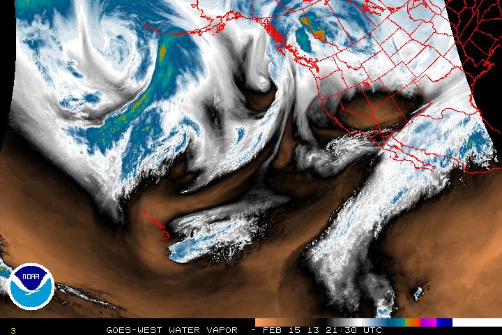
Water Vapor
Image
-
Loop
DMSP SSM/I Microwave Instrument
85 GHz Radiance
Image
-
Loop
Precipitable Water
Image
-
Loop
Rain Rate
Image
-
Loop
Surface Winds
Image
-
Loop
AMSU Microwave Instrument
89 GHz Radiance
Image
-
Loop
Precipitable Water
Image
-
Loop
Rain Rate
Image
-
Loop
Radar
Radar for dial-up users (i.e. slower connections)
Analyses/Forecasts
Pacific Streamline Analysis (130E-110W,30S-30N)
tif
Latest
00Z
06Z
12Z
18Z
gif
Latest
00Z
06Z
12Z
18Z
Loop
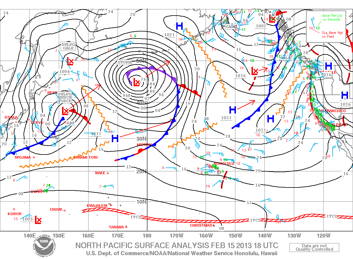
North Pacific Surface Analysis (130E-110W,EQ-60N) From the
Unified Surface Analysis
gif
Latest
00Z
06Z
12Z
18Z
Loop
Pacific Surface Forecast (130E-110W,30S-50N)
gif
00Z Charts
24 hr
48 hr
72 hr
gif
12Z Charts
24 hr
48 hr
72 hr
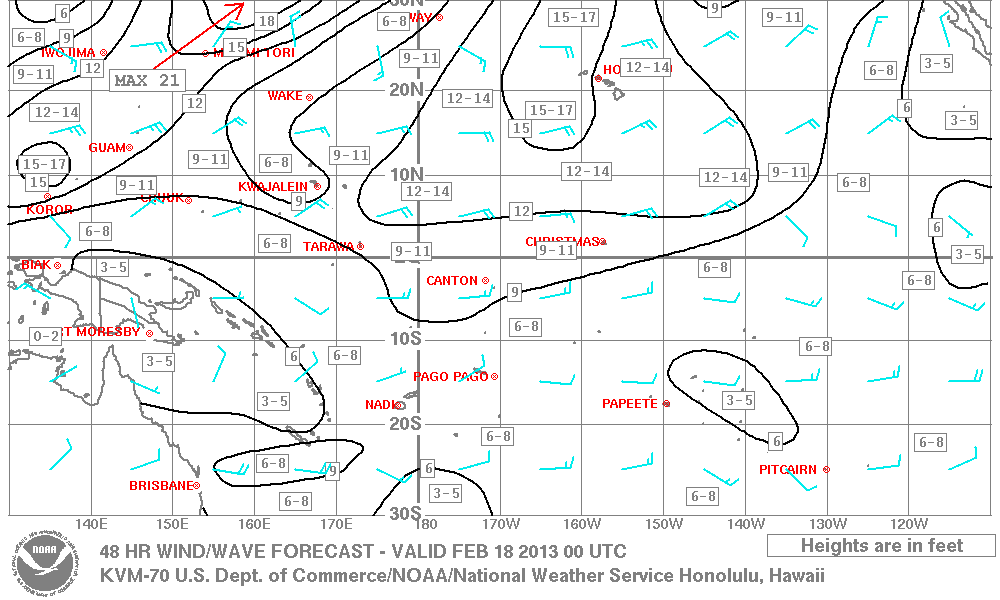
Pacific Wind Wave Analysis and Forecasts
00Z Charts
tif
Analysis
24 hr
48 hr
72 hr
gif
Analysis
24 hr
48 hr
72 hr
12Z Charts
tif
Analysis
24 hr
48 hr
72 hr
gif
Analysis
24 hr
48 hr
72 hr
Pacific Significant Cloud Features (160E-110W, 30S-50N)
gif
Latest
03Z
15Z
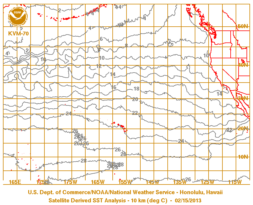
Pacific Sea Surface Temperature Analysis
satellite-derived (updated twice weekly)
Symbols & Test Chart
Hydrology
Probabilistic Wind Graphics
Tropical Cyclone Product Help
History
CPHC Archives
2010
2009
2008
2007
2006
2005
2004
2003
2002
2001
2000
1999
1998
1997
1996
1995
1994
1993
1992
1991
1990
1989
1988
1987
1986
1985
1984
1983
1982
1981
1980
1979
1978
1977
1976
1975
1974
1973
1972
1971
1970
1969
1968
1967
1966
1965
1963
1962
1961
1960
1959
1958
1957
index
1900-52
1800s
Climatology
Awareness
Preparedness
Hurricane Safety
2006 Hurricane Awareness Week information
Hurricanes - A Dangerous Triple Threat
Get Ready for Hurricane Season
Actions to take when a Hurricane Nears Hawaii
Hurricane Awareness
Hurricane Safety
Hurricanes - A Dangerous Triple Threat
Get Ready for Hurricane Season - Safety Advice from the National Weather Service
Actions to take when a Hurricane Nears Hawaii
NWS Hurricane Awareness
NOAA Hurricane Awareness
Hurricane! A Familiarization Booklet
Adobe *.pdf format
Hurricanes...Unleashing Nature's Fury
Hurricane Information
Weather School
Tropical cyclone names for the Pacific
Worldwide Storm Names available at the
National Hurricane Center
NOAA's Aircraft Operations Center
Hurricane Hunters
Tracking Charts
Pacific
Central Pacific
Atlantic
About Us
Our Mission
Our Office
Directions to the Office
News Items
Other Pacific Region Web Sites
Pacific Region HQ
WFO Honolulu
WFO Guam
WSO Pago Pago
Pacific Tsunami Warning Center
International Tsunami Information Center
Contact Us
W-HFO.Webmaster@noaa.gov


