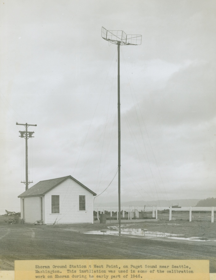
Shoran ground station at West Point on Puget Sound near Seattle. This installation was used during some of the calibration work on Shoran during the early part of 1946.
Image ID: cgs00613, NOAA's Historic Coast & Geodetic Survey (C&GS) Collection Credit: NOAA Central Library Historical Imagery • High Resolution Photo Available
Publication of the U.S. Department of Commerce, National Oceanic & Atmospheric Adminstration (NOAA), NOAA Central Library NOAA Privacy Policy | NOAA Disclaimer Last Updated: April 23, 2007

