
 |
 |
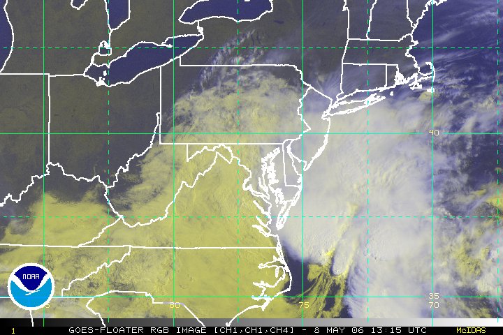
Floater |
Wide Floater |
Western Atlantic |
||||||
Image |
Loop |
Image |
Loop |
Image |
Loop |
|||
with lat/lon |
without lat/lon |
with lat/lon |
without lat/lon |
with lat/lon |
without lat/lon |
|||
Tropical Rainfall Potential (TRaP)
| October 23 | 14:21 UTC | ||
| October 22 | 15:27 UTC | ||
Alpha Operational Significant Event Imagery
Date |
Satellite | "preview" | Full Size |
Enhancement Descriptions: |
|
AVN |
Aviation color enhancement |
BD |
Dvorak enhancement - used for Tropical Classifications with the Dvorak Technique |
FT |
Funktop enhancement - developed by Ted Funk for assistance with Precipitation analysis |
IR2 |
Channel 2 Infrared imagery - Shortwave, sometimes considered "night visible" |
IR4 |
Unenhanced Channel 4 Infrared Imagery |
JSL |
JSL2 enhancement - developed by Jim Lynch for use with tropical classifications |
RB |
Rainbow enhancement curve - pretty color enhancement |
RGB |
Combination of Visible and IR using a three channel technique to make features stand out |
VIS |
Unenhanced Visible imagery that changes to IR2 overnight. |
WV |
Water Vapor, IR Channel 3 with color enhancement |
|
Contact Information: |
||
|
You are Here: http://www.ssd.noaa.gov/GOES/alpha.html
|