
 Feeds & Data
Map Centered at 37°N, 85°W
Skip to earthquake lists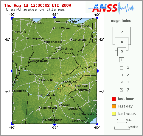
Instructions
- Click near an earthquake to zoom in.
- Click on blue arrows around map to see next map in that direction.
- Did You Feel It? - Report an earthquake
Tips
- Bold red lines are plate boundaries. White lines are roads.
- To convert UTC to US time zones, see this list or this table.
- Magnitude = ? for new earthquakes until a magnitude is determined.
- Maps show events recorded in the last 7 days with M1+ within the United States and adjacent areas.
- Maps are updated whenever a new earthquake has been located. Try to reload this page if you do not have the most current map.
