AIRS Volumetric Cloud Data (Fly In)
|
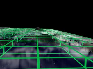
This visualization shows Aqua/AIRS simulated volumetric cloud data for September 13, 1999. The data was created using the Finite Volume Community Climate Model (FVCCM). Temperature and cloud data sets were match rendered for cross dissolves in post production. This visualization was created as a part of the Aqua prelaunch package.
|
|

|
|
Fly in through cloud data
Duration: 440.5 minutes
Available formats:
1280x720 (30 fps)
MPEG-2
63 MB
352x240 (29.97 fps)
MPEG-1
3 MB
320x238
JPEG
11 KB
1280x720 (30 fps)
Frames
720x480 (29.97 fps)
DV
108 MB
320x180 (30 fps)
MPEG-1
3 GB
320x180 (30 fps)
X-FLV
1 MB
How to play our movies
|
|

|
|
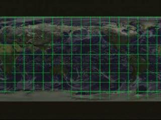
Volumetric global clouds on flat map (top view)
Available formats:
2560 x 1920
TIFF
4 MB
160 x 80
PNG
25 KB
320 x 240
JPEG
12 KB
80 x 40
PNG
7 KB
|
|
|
|
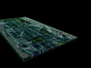
Volumetric global clouds on flat map (45 degree angle view)
Available formats:
2560 x 1920
TIFF
4 MB
320 x 240
JPEG
9 KB
|
|

|
|
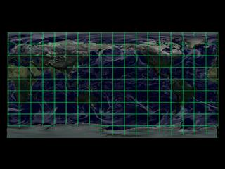
Volumetric global clouds on flat map (side view)
Available formats:
2560 x 1920
TIFF
3 MB
320 x 240
JPEG
10 KB
|
|
|
|
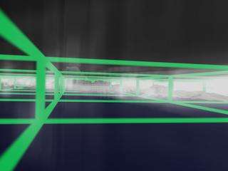
Volumetric global clouds on flat map (internal view)
Available formats:
2560 x 1920
TIFF
3 MB
320 x 240
JPEG
7 KB
|
|

|
|
Video slate image reads, "AIRS Simulated Volumetric Clouds (Aqua Prelaunch) zoom in, no gradient".
Available formats:
720 x 528
JPEG
120 KB
320 x 234
PNG
291 KB
|
|
|
Back to Top
|

