

Images & Animations
-
Credit
Image courtesy GOES project
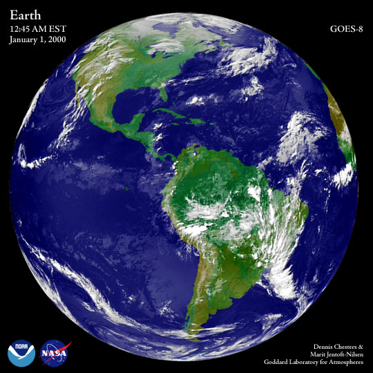
The first full-disk (hemispheric) image of the Earth after the turn of the century on the East Coast of the U.S. was aquired by a NOAA Geostationary Operational Environmental Satellite—GOES-8— at 12:45 AM Eastern Standard Time, January 1, 2000.
Metadata
-
Sensor
GOES/GOES -
Visualization Date
2000-01-03