|
|
 |
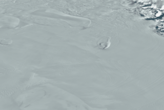
MODIS Mosaic of Antarctica sees the Ross Ice Shelf
|
NASA has released a digital image map of the Antarctic continent and surrounding islands. The Moderate Resolution Imaging Spectroradiometer (MODIS) Mosaic of Antarctica (MOA) image map is a composite of 260 swaths comprised of both Terra and Aqua MODIS images acquired between November 20, 2003 and February 29, 2004. MOA provides a cloud-free view of the ice sheet, ice shelves, and land surfaces at a grid scale of 125 m and an estimated resolution of 150 m. All land areas south of 60° S that are larger than a few hundred meters are included in the mosaic. Also included are several persistent fast ice areas and grounded icebergs.
|
|
|
|
The MODIS Mosaic of Antarctica reveals the dynamic crevasses and ice flows in the Ross Ice Shelf.
Duration: 9.0 seconds
Available formats:
720x480 (29.97 fps)
MPEG-2
8 MB
720x480 (30 fps)
MPEG-1
6 MB
720x486 (29.97 fps)
Frames
320x216
PNG
72 KB
160x80
PNG
15 KB
80x40
PNG
4 KB
2560x1920
TIFF
3 MB
How to play our movies
|
|
|
Back to Top
|
|
|
|

