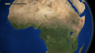
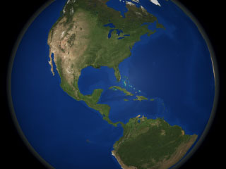
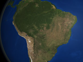
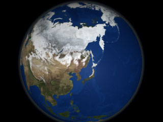
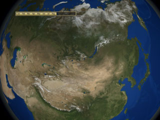
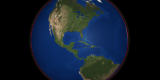
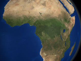
The Blue Marble Next Generation data set provides a monthly global cloud-free true-color picture of the Earth's land cover at a 500-meter spatial resolution. This visualization of the data set shows seasonal variations such as snowfall, spring greening and droughts in a seamless fashion, thereby heightening awareness of changes in the Earth's climate. Here we tour the globe, viewing seasonal land cover over many continents. This data set is derived from imagery taken in 2004 by the MODIS instrument on the Terra satellite.


