

Images & Animations
-
Credit
Provided by the SeaWiFS Project, NASA/Goddard Space Flight Center, and ORBIMAGE
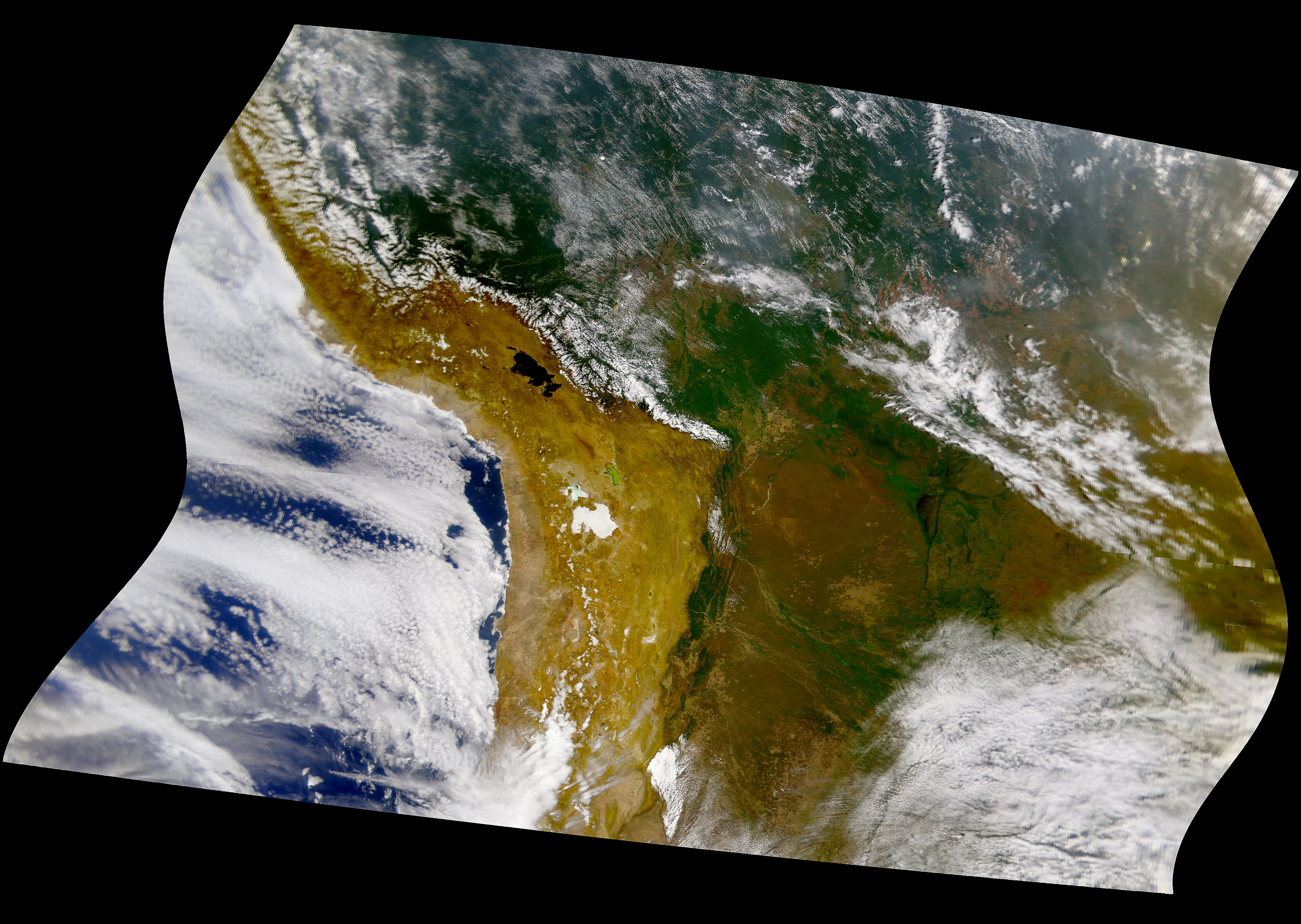
This SeaWiFS image shows Bolivia, southern Peru and northern Chile. Note the massive extent of deforestation in the region.
Metadata
-
Sensor
OrbView-2/SeaWiFS -
Visualization Date
1997-10-02