A catalog of NASA images and animations of our home planet
Skip Navigation (key s)
.
Home
Terms of Use
Frequently Asked Questions
Browse By:
Satellite
Sensor
Collections
Country
U.S. State
GCMD Topic
All Categories
»
GCMD Topics
»
Land Surface
»
Topography
AIRSAR: Upolu Island, Western Samoa
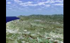
SRTM Perspective View with Landsat …
SRTM Perspective View with Landsat …
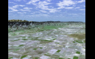
Radar Image with Color as Height: …
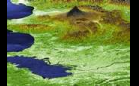
Perspective View with Radar Image …
Perspective View with Radar Image …
Mount St. Helens Flyover
SRTM Perspective View with Landsat …
Barringer Meteor Crater, Arizona
SRTM Perspective View with Landsat …
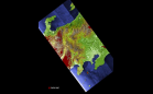
SRTM Stereo Pair: Bhuj, India, Two …
SRTM Perspective View with Landsat …
Roof of the World and the Abode of …
Barringer Meteor Crater, Arizona
Denmark & Germany
Estevan Coalfield and Power …
Sort By: Data Date
↑
↓
Visualization Date
↑
↓
ID
↑
↓
«
‹
1
2
3
4
5
6
7
›
»
Subcategories
Contours
(7)
Landforms
(70)
Relief
(16)
Surface Roughness
(12)
Terrain Elevation
(12)
Topographic Effects
(26)