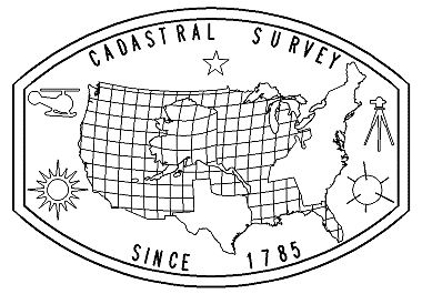
A cadastral survey is a survey relating to land boundaries and subdivisions, made to create units suitable for transfer or to define the limitations of title. It is derived from the word cadastre, meaning a public record, survey, or map of the value, extent, and ownership of land as a basis of taxation. The Public Land Survey System has formed the framework for all land title (public and private) in all states except those formed from the territory of the original 13 colonies, Texas, and Hawaii.
Cadastral Land Surveyors today identify and establish monuments that document the legal boundaries between public and private lands for both the surface and mineral estate. Equipment and techniques have changed in the last 200 years, but the agency's responsibilities and legal requirements have not.


